Grabowiec, Rural village in Zamość County, Lublin Voivodeship, Poland.
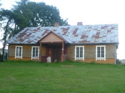
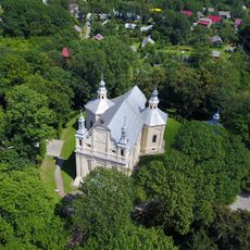
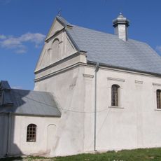
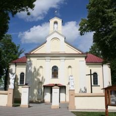
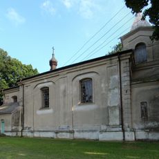
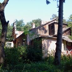
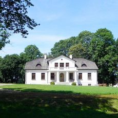
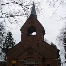
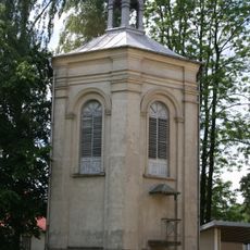
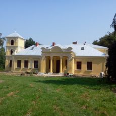
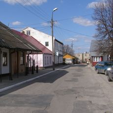
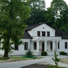
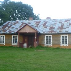
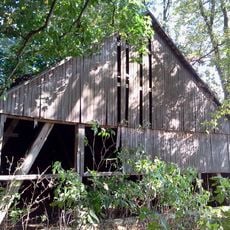
Grabowiec is a rural village in Zamość County, Lublin Voivodeship, featuring traditional wooden structures, agricultural land, and a central administrative hub. The marketplace sits at the heart of the settlement with key buildings arranged around it.
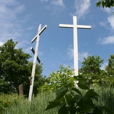
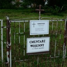
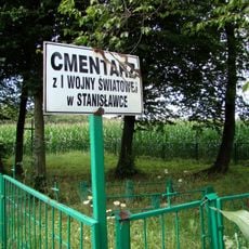
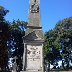
The settlement was deeply marked during World War II when the German-Soviet invasion of Poland reached the region. Tragic events in 1939 left a lasting impact on the local memory and history.
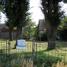
The village maintains rural traditions through regular community gatherings at its central marketplace. These meetings and local events shape daily life and reflect the bonds between residents.
The village is located about 24 kilometers northeast of Zamość and is easily accessible by local transport. Walking through the center is the best way to see the main sights, as everything is relatively close together around the marketplace.
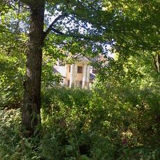
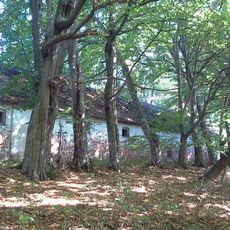
The village was once a much larger and more prosperous center before World War II. The decline in population over the decades reflects the major upheavals that shaped Eastern Europe during the 20th century.
The community of curious travelers
AroundUs brings together thousands of curated places, local tips, and hidden gems, enriched daily by 60,000 contributors worldwide.