Dzielec, Podkarpackie Voivodeship, village in Subcarpathian, Poland
Location: Gmina Dębowiec, Podkarpackie Voivodeship
Elevation above the sea: 222 m
GPS coordinates: 49.67500,21.37778
Latest update: March 11, 2025 00:25
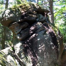
Diabli Kamień in Folusz
8.1 km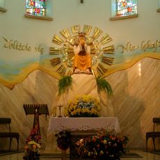
Minor Basilica of Our Lady of La Salette in Dębowiec
6.4 km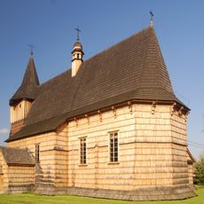
Church of the Nativity of the Virgin Mary in Libusza
7.7 km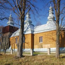
Saint Michael Archangel church in Pielgrzymka
8.3 km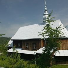
Orthodox church in Rozdziele
8.3 km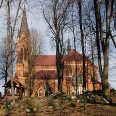
Saints Stanislaus and Hedwig church in Osobnica
3.3 km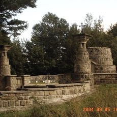
World War I Cemetery nr 11 in Wola Cieklińska
5.5 km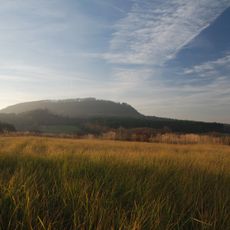
Cieklinka
3.2 km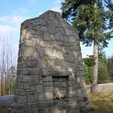
World War I Cemetery nr 102 in Wojtowa
5.4 km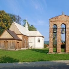
Saint Bartholomew church in Wójtowa
6.6 km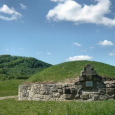
World War I Cemetery nr 13 in Cieklin
2.6 km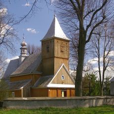
Saint John the Baptist church in Załęże
7.1 km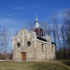
Church of the Nativity of the Virgin Mary in Rozdziele
6.9 km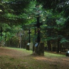
World War I Cemetery nr 103 in Pagorzyna
4.9 km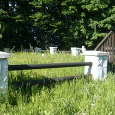
World War I Cemetery nr 84 in Bednarka
5 km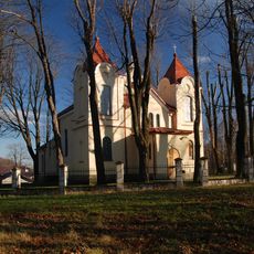
Church of the Pokrov in Bednarka
4.8 km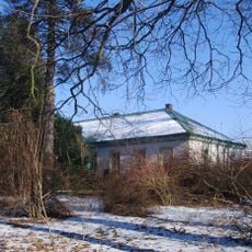
Dwór w Przysiekach
6.9 km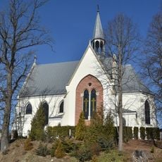
Saint Dorothy church in Harklowa
6 km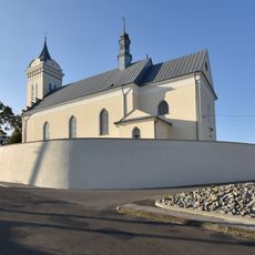
Saint Bartholomew church in Dębowiec
6.1 km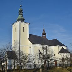
Old Church of the Assumption in Lipinki
6.2 km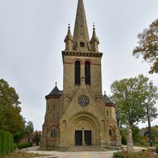
Kościół św. Michała Archanioła w Cieklinie
3.6 km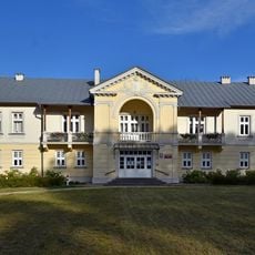
Dwór w Lipinkach
6 km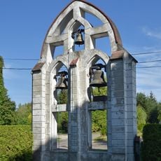
Dzwonnica w Harklowej
6 km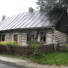
93 Dębowiec
6.1 km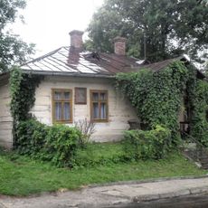
Dom nr 91 (d. 202)
6.1 km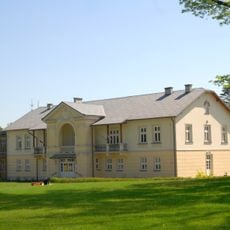
Zespół dworski w Lipinkach
6.1 km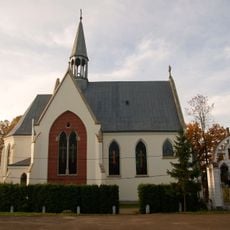
Zespół kościoła św. Doroty
6 km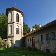
Oranżeria z wieżą
7 kmVisited this place? Tap the stars to rate it and share your experience / photos with the community! Try now! You can cancel it anytime.
Discover hidden gems everywhere you go!
From secret cafés to breathtaking viewpoints, skip the crowded tourist spots and find places that match your style. Our app makes it easy with voice search, smart filtering, route optimization, and insider tips from travelers worldwide. Download now for the complete mobile experience.

A unique approach to discovering new places❞
— Le Figaro
All the places worth exploring❞
— France Info
A tailor-made excursion in just a few clicks❞
— 20 Minutes