
Rudyszwałd, village in Silesian, Poland
Location: Gmina Krzyżanowice
Elevation above the sea: 200 m
GPS coordinates: 49.95000,18.28333
Latest update: April 6, 2025 16:01
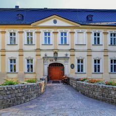
Palace in Chałupki
4.3 km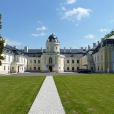
Castle in Šilheřovice
2.7 km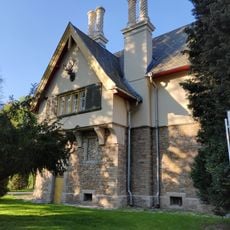
Hunting lodge in Šilheřovice
2.8 km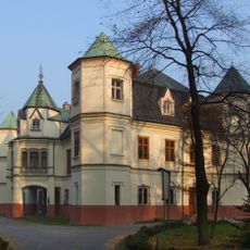
Krzyżanowice Palace
3.8 km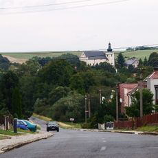
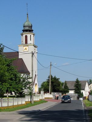
Church of Saint Matthew
3.3 km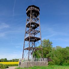
Wieża widokowa Graniczne meandry Odry
4.5 km
WOP post in Chałupki
3.2 km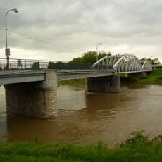
Border bridge in Starý Bohumín
4.6 km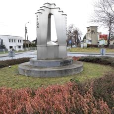
Memorial of Three States
3.7 km
Open Air Museum of Black Oak
3.8 km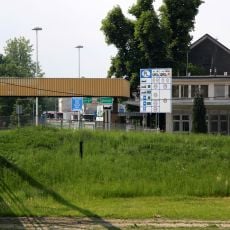
GPK in Chałupki
4.4 km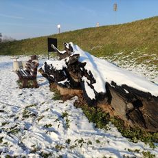
Open Air Museum of Black Oak (Roszków)
2.4 km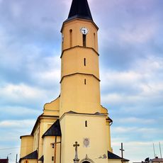
Saint Anne church in Krzyżanowice
3.8 km
Šilheřovice (natural monument)
2.9 km
Church of Saint Hedwig
4.3 km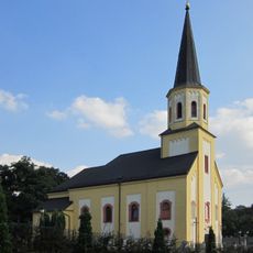
Church of the Assumption
2.7 km
Kaplička v Hati na křižovatce ulic Kostelní a Pekařská
3.2 km
Chapel of Saint Florian
4.6 km
Chapel of Saint Hubertus
3.6 km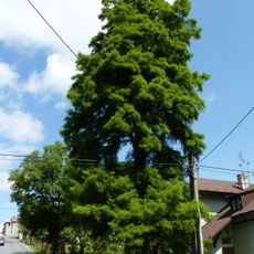
Taxodium u hájenky
2.5 km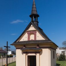
Holy Family chapel in Olza
4.1 km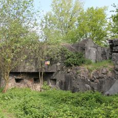
MO-S 16 U rozcestí casemate
4.6 km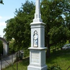
Kříž v Hati v Kostelní ulici
3.3 km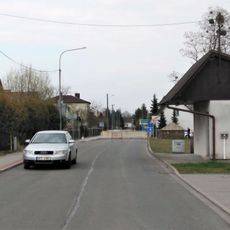
Kříž v Hati u hraničního přechodu
1.1 km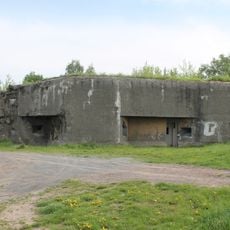
MO-S 15 Na výhledech casemate
4.5 km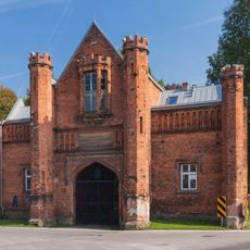
Historic brick gate in Krzyżanowice
3.8 km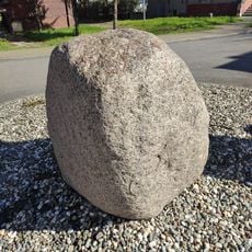
Glacial erratic in Chałupki
3.4 km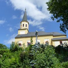
Kříž v Šilheřovicích poblíž kostela Nanebevzetí Panny Marie
2.7 kmReviews
Visited this place? Tap the stars to rate it and share your experience / photos with the community! Try now! You can cancel it anytime.
Discover hidden gems everywhere you go!
From secret cafés to breathtaking viewpoints, skip the crowded tourist spots and find places that match your style. Our app makes it easy with voice search, smart filtering, route optimization, and insider tips from travelers worldwide. Download now for the complete mobile experience.

A unique approach to discovering new places❞
— Le Figaro
All the places worth exploring❞
— France Info
A tailor-made excursion in just a few clicks❞
— 20 Minutes