
Ogardy, village in Lubusz, Poland
Location: Gmina Strzelce Krajeńskie
GPS coordinates: 52.96667,15.58333
Latest update: April 21, 2025 12:41
Oflag II C Woldenberg
10.5 km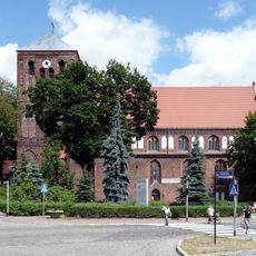
Kościół Matki Bożej Różańcowej w Strzelcach Krajeńskich
10.3 km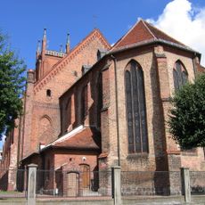
Parish Church in Dobiegniew
11.7 km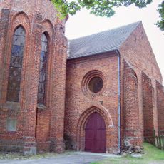
Monastery in Bierzwnik
9.3 km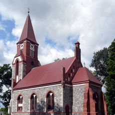
Orthodox church of the Dormition in Ługi
8.2 km
Palace in Tuczno
5.7 km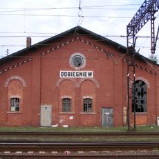
Synagogue in Dobiegniew
11.2 km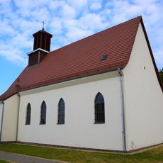
St. Joseph's Church in Dobiegniew
11 km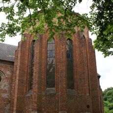
Our Lady of the Scapular church in Bierzwnik
9.6 km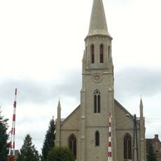
Saints Peter and Paul church in Stare Kurowo
13.8 km
Christ the King church in Bronowice
8.6 km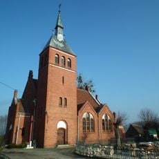
Church of the Nativity of Mary in Łącznica
14.5 km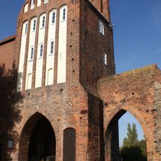
Mill Gate in Strzelce Krajeńskie
10.2 km
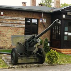
Muzeum Woldenberczyków
10.4 km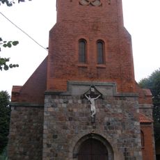
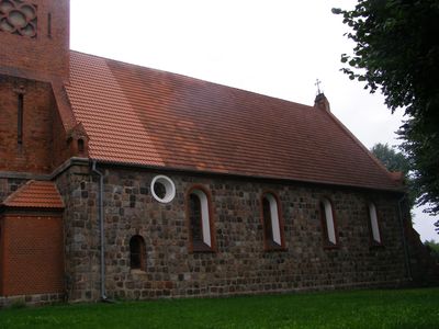
Saint Stanislaus Kostka church in Ogardy
99 m
Our Lady of the Rosary church in Strzelce Krajeńskie
10.3 km
Saint Joseph church in Lipie Góry
4.6 km
Saint John the Baptist church in Gardzko
11.1 km
Church of Saint John in Zwierzyn
14.4 km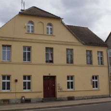
25 Brygady Saperów Street in Strzelce Krajeńskie
10.4 km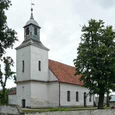
Immaculate Conception church in Licheń
7.3 km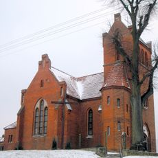
Church of the Child Jesus in Chomętowo
5.7 km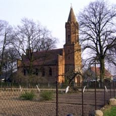
Saint Anthony of Padua church in Bobrówko
8.9 km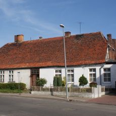
Saperów 34
10.3 km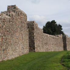
Mury obronne wraz z 36 basztami
10.4 km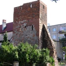
Wall tower in Dobiegniew
11.5 km
1 Szpitalna Street in Dobiegniew
11.5 km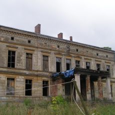
Pałac w Osiku
8 kmVisited this place? Tap the stars to rate it and share your experience / photos with the community! Try now! You can cancel it anytime.
Discover hidden gems everywhere you go!
From secret cafés to breathtaking viewpoints, skip the crowded tourist spots and find places that match your style. Our app makes it easy with voice search, smart filtering, route optimization, and insider tips from travelers worldwide. Download now for the complete mobile experience.

A unique approach to discovering new places❞
— Le Figaro
All the places worth exploring❞
— France Info
A tailor-made excursion in just a few clicks❞
— 20 Minutes