
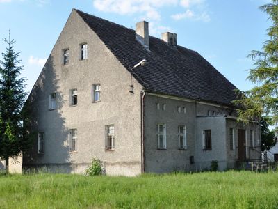
WOP post in Strzegów, zlikwidowany pododdział graniczny
Location: Strzegów, Lubusz Voivodeship
Inception: 1945
Part of: Germany–Poland border
GPS coordinates: 51.82083,14.62028
Latest update: March 2, 2025 23:50

Rosengarten Forst
10.4 km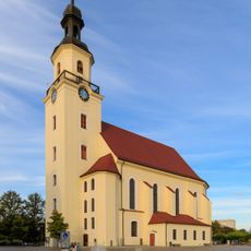
Parish church St. Nikolai (Forst in der Lausitz)
8.8 km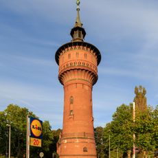
Wasserturm Forst
9.4 km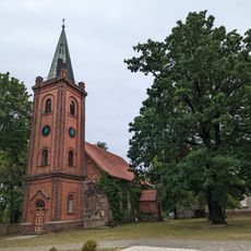
Village church Noßdorf
10.9 km
Stadion am Wasserturm
9.4 km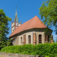
Village church Eulo
7.5 km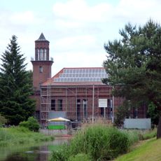
Wasserkraftwerk Grießen
3.5 km
Gustavus-Adolphus-Church Kerkwitz
10 km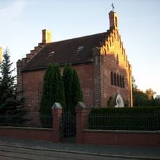
St. Marienkapelle
8.7 km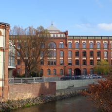
Tuchfabrik Cattien Forst
8.3 km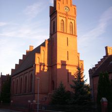
Sacred Heart church Forst
8.7 km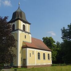
Village church Mulknitz
6.2 km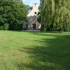
Johann-Sebastian-Bach church
10.2 km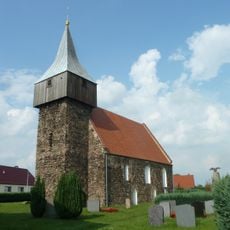
Village church Grießen
3.7 km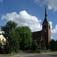
Village church Heinersbrück/Móst
7.7 km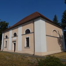
Village church Jänschwalde
9.5 km
Tuchfabrik Schneider & Duch
7.6 km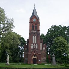
Village church Sacro
4.9 km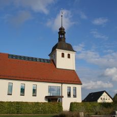
Village church Horno
7.3 km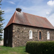
Village church Naundorf (Forst)
3.8 km
WOP post in Janów
5.7 km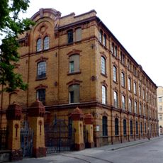
Brandenburg Museum of Textiles
9.3 km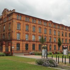
Brandenburgisches Textilmuseum
9.3 km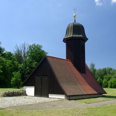
Gosda chapel
9.8 km
Plastik "Schlagballspieler" Forst Lausitz
9.3 km
Kościół ewangelicki (ruina) w Jeziorach Dolnych
9.4 km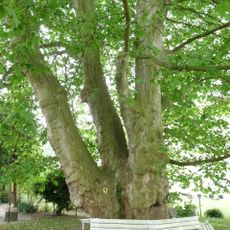
Naturdenkmal Bastardplatane
8.7 km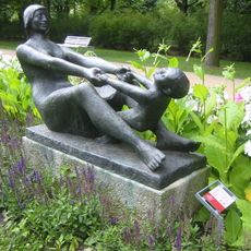
Mutter mit Kind
10.4 kmReviews
Visited this place? Tap the stars to rate it and share your experience / photos with the community! Try now! You can cancel it anytime.
Discover hidden gems everywhere you go!
From secret cafés to breathtaking viewpoints, skip the crowded tourist spots and find places that match your style. Our app makes it easy with voice search, smart filtering, route optimization, and insider tips from travelers worldwide. Download now for the complete mobile experience.

A unique approach to discovering new places❞
— Le Figaro
All the places worth exploring❞
— France Info
A tailor-made excursion in just a few clicks❞
— 20 Minutes