
Spichrz, hambar in Czarny Bór, Lower Silesian Voivodeship, Poland
Location: Czarny Bór
Inception: 18 century
Address: Parkowa 6
GPS coordinates: 50.77423,16.13333
Latest update: March 3, 2025 00:39

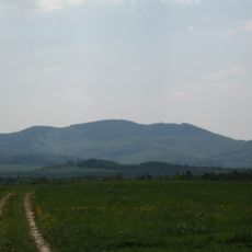
Sattelberg
4.8 km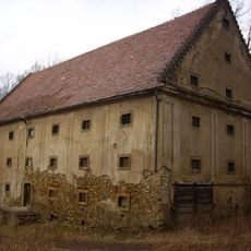
Palace in Czarny Bór
872 m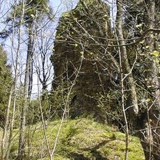
Castle ruins in Czarny Bór
872 m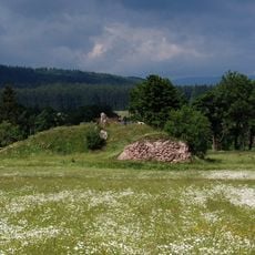
Wojaczów Castle in Grzędy
4.1 km
Dekanat dolnośląski
5.5 km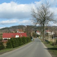
Annenberg
5.4 km
Town hall of Boguszów-Gorce
5.4 km
Chapel of St. Anna in Krzeszów
5.4 km
Kościół Trójcy Świętej w Boguszowie-Gorcach
5.2 km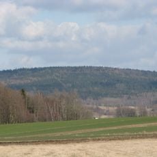
Buchberg
5.1 km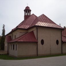
Sacred Heart church in Czarny Bór
470 m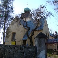
Saint Hedwig church in Grzędy
3.2 km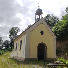
Chapel of St. Anna in Witkow
3.4 km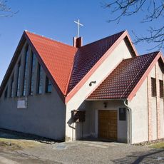
Maximilian Kolbe church in Czadrów
5.2 km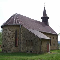
Christ the King church in Borówno
2.4 km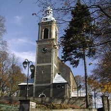
Kościół Zwiastowania Najświętszej Maryi Panny w Witkowie
2.5 km
Chełmiec Mały
4.9 km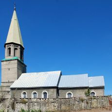
Our Lady of Częstochowa church in Jaczków
4.6 km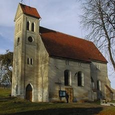
Kościół Matki Bożej Częstochowskiej w Jabłowie
2.6 km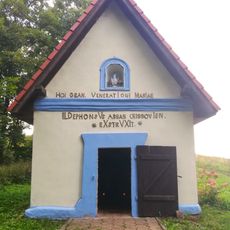
Kaplica Matki Bożej Częstochowskiej w Borównie
2.5 km
Former Lutheran church in Boguszów-Gorce
5.4 km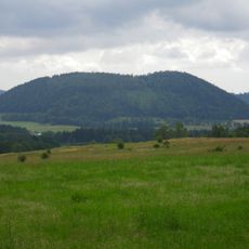
Mniszek
3.5 km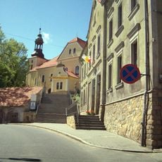
Holy Trinity church in Boguszów-Gorce
5.2 km
Our Lady of Częstochowa church in Jabłów
2.6 km
Kościół ewangelicki ruina, poł. XVIII
5.4 km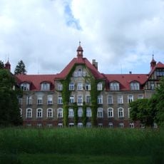
Zespół szpitalny im. dr J. Korczaka
4.9 km
Church of the Annunciation in Witków
2.5 km
Witold shaft in Boguszów-Gorce
2.5 kmReviews
Visited this place? Tap the stars to rate it and share your experience / photos with the community! Try now! You can cancel it anytime.
Discover hidden gems everywhere you go!
From secret cafés to breathtaking viewpoints, skip the crowded tourist spots and find places that match your style. Our app makes it easy with voice search, smart filtering, route optimization, and insider tips from travelers worldwide. Download now for the complete mobile experience.

A unique approach to discovering new places❞
— Le Figaro
All the places worth exploring❞
— France Info
A tailor-made excursion in just a few clicks❞
— 20 Minutes