
Benlhevai, civil parish in Vila Flor
Location: Vila Flor
Elevation above the sea: 576 m
GPS coordinates: 41.37444,-7.09083
Latest update: May 27, 2025 12:52
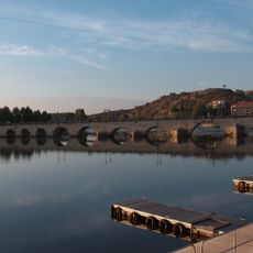
Ponte Velha sobre o rio Tua
14.6 km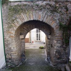
Castle of Mirandela
14.6 km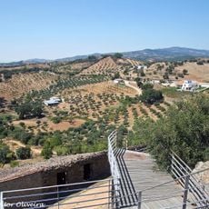
Castle of Alfândega da Fé
10.9 km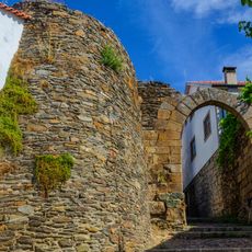
Castle of Vila Flor
9.2 km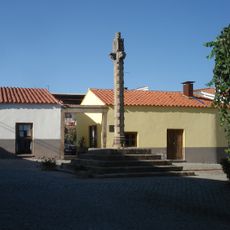
Pelourinho de Frechas
7.4 km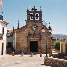
Church of São Pedro
2.6 km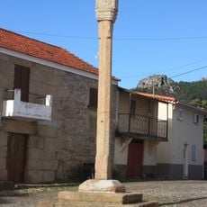
Pillory of Vilas Boas
9.3 km
Pillory of Vila Flor
9.1 km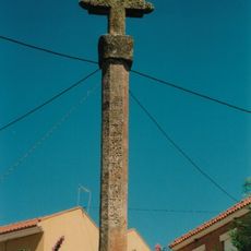
Pillory of Santa Comba da Vilariça
2.6 km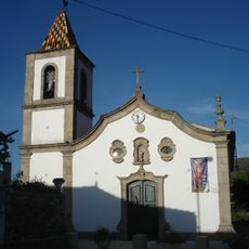
Igreja Paroquial de Frechas
7.4 km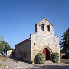
Igreja Matriz de Adeganha
11.2 km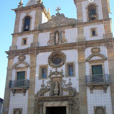
Igreja Paroquial de Vila Flor
9.1 km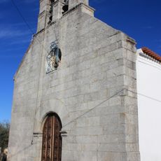
Igreja de Santa Marta
11.9 km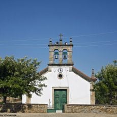
Igreja Paroquial de Valverde
9.9 km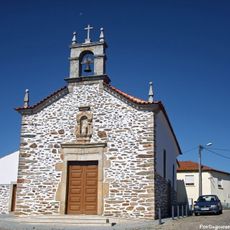
Igreja da Santa Casa da Misericórdia de Alfândega da Fé
11.1 km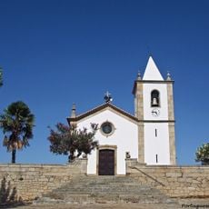
Igreja Paroquial de Vilarelhos
5.2 km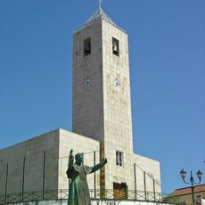
Igreja Paroquial de Mirandela
14.5 km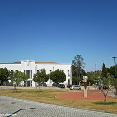
Câmara Municipal de Alfândega da Fé
11.3 km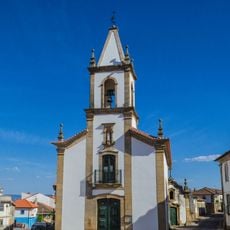
Igreja da Santa Casa da Misericórdia de Vila Flor
9 km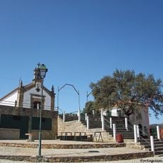
Capela de Nossa Senhora dos Anúncios
5.8 km
Câmara Municipal de Vila Flor
9 km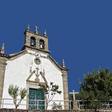
Igreja Paroquial de Vales
8.2 km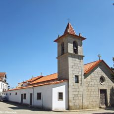
Igreja Paroquial de Alfândega da Fé
11 km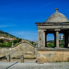
Fonte de Vila Flor
9.2 km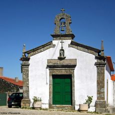
Capela de Nossa Senhora do Rosário (Soeima)
12.3 km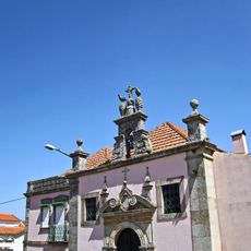
Casa e Capela da Família dos Ferreiras
11 km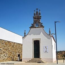
Capela de São Sebastião (Alfândega da Fé)
11.4 km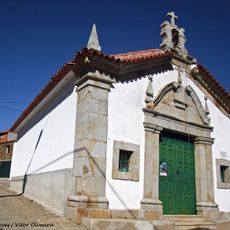
Capela da Senhora do Rosário
10.8 kmReviews
Visited this place? Tap the stars to rate it and share your experience / photos with the community! Try now! You can cancel it anytime.
Discover hidden gems everywhere you go!
From secret cafés to breathtaking viewpoints, skip the crowded tourist spots and find places that match your style. Our app makes it easy with voice search, smart filtering, route optimization, and insider tips from travelers worldwide. Download now for the complete mobile experience.

A unique approach to discovering new places❞
— Le Figaro
All the places worth exploring❞
— France Info
A tailor-made excursion in just a few clicks❞
— 20 Minutes