
Aguada de Cima, town and civil parish in Águeda
Location: Águeda
Elevation above the sea: 41 m
Website: http://www.jf-aguadadecima.pt/
Website: http://jf-aguadadecima.pt
GPS coordinates: 40.52203,-8.42831
Latest update: March 9, 2025 06:44
Mogofores
8.3 km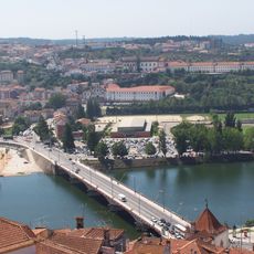
Ponte de Santa Clara
4.2 km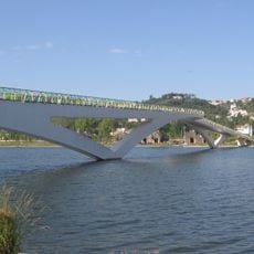
Pedro e Inês bridge
4.2 km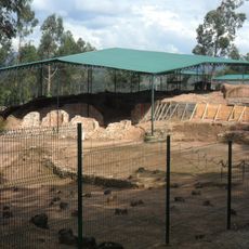
Talabriga
13.1 km
Complexo Termal do Luso
16 km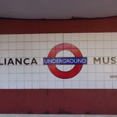
Aliança Underground Museum
5.2 km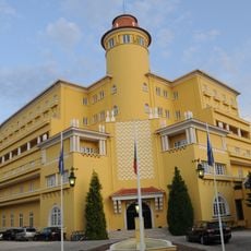
Grande Hotel do Luso
15.9 km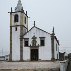
Church of São Salvador (Trofa)
10.8 km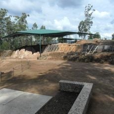
Archaeological Site of Cabeço do Vouga
13.2 km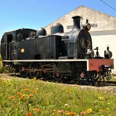
Macinhata do Vouga railway museum
14.9 km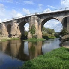
Ponte do Vouga
13.6 km
Ponte do Cabeço do Vouga
13.6 km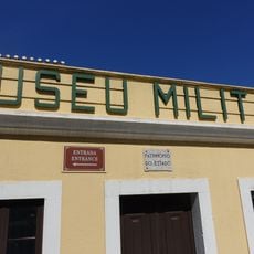
Museu Militar do Buçaco
17 km
Alegre Hotel Bussaco
16.1 km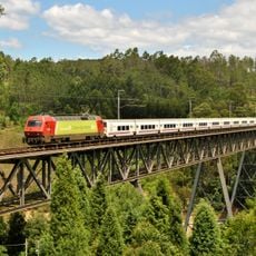
Várzeas bridge
15.5 km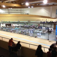
Velódromo Nacional Anadia
6.2 km
Casino do Luso
16 km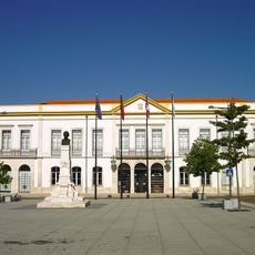
Câmara Municipal de Anadia
8.8 km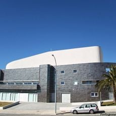
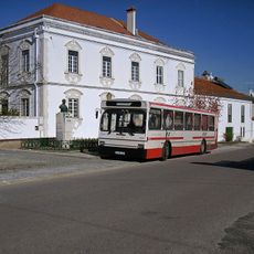
Quartel das Artes Dr. Alípio Sol
5.7 km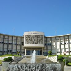
Tribunal Judicial e Tribunal do Trabalho de Águeda
5.9 km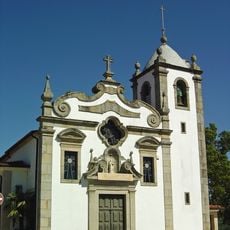
Igreja Paroquial de Águeda
5.9 km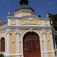
Termas da Curia
11.1 km
Câmara Municipal de Oliveira do Bairro
5.8 km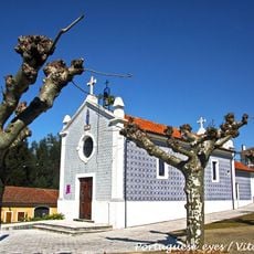
Capela da Senhora dos Milagres
9.5 km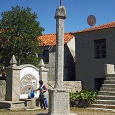
Pelourinho de São João do Monte
18.4 km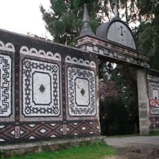
Casas de Guarda na Cerca do Buçaco
16.7 km
Pelourinho de Serém
15.6 km
Umbrella Sky Project
5.7 kmReviews
Visited this place? Tap the stars to rate it and share your experience / photos with the community! Try now! You can cancel it anytime.
Discover hidden gems everywhere you go!
From secret cafés to breathtaking viewpoints, skip the crowded tourist spots and find places that match your style. Our app makes it easy with voice search, smart filtering, route optimization, and insider tips from travelers worldwide. Download now for the complete mobile experience.

A unique approach to discovering new places❞
— Le Figaro
All the places worth exploring❞
— France Info
A tailor-made excursion in just a few clicks❞
— 20 Minutes