
Некрасовское сельское поселение
Некрасовское сельское поселение, human settlement in Nekrasovsky District, Yaroslavl Oblast, Russia
Location: Nekrasovsky District
Capital city: Nekrasovskoye
GPS coordinates: 57.67531,40.37192
Latest update: March 15, 2025 17:33
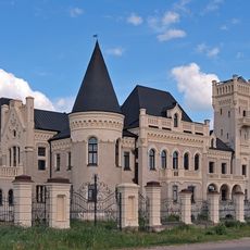
Ponizovkin's Palace
8.4 km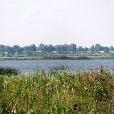
Yakhrobolskoe
9.2 km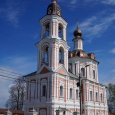
Church of the Resurrection of Christ, Nerekhta
26.4 km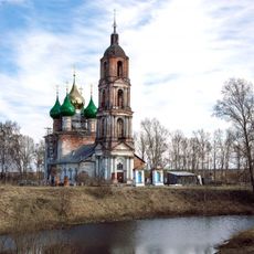
Holy Mandylion church
6.1 km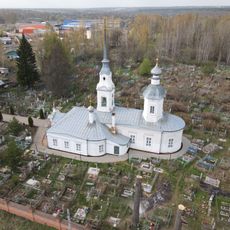
Крестовоздвиженская церковь
26.3 km
Ярославская улица 13/22
26.4 km
Улица Орджоникидзе 15
26.4 km
Улица Орджоникидзе 6
26.5 km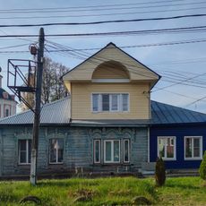
Ярославская улица 19
26.3 km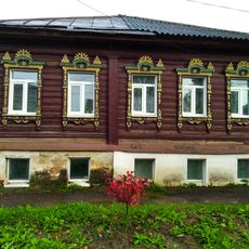
Улица Орджоникидзе 22
26.4 km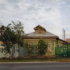
Улица Орджоникидзе 18
26.4 km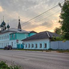
Улица Орджоникидзе 5
26.5 km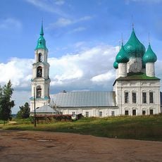
Church of the Resurrection of Christ, Levashovo
9.9 km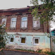
Улица Орджоникидзе 13
26.4 km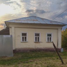
Улица Урицкого 29
26.5 km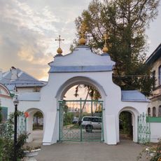
Улица Гагарина 22, ограда церкви
26.3 km
Ярославская улица 9
26.5 km
Улица Орджоникидзе 11
26.4 km
Улица Карла Либкнехта 2
26.2 km
Ярославская улица 10
26.5 km
Улица Гагарина 22, дом священника
26.3 km
Улица Орджоникидзе 10
26.5 km
Улица Орджоникидзе 7
26.5 km
Ярославская улица 7
26.5 km
Улица Восход 3
26.5 km
Улица Гагарина 22, здание церкви
26.3 km
Ярославская улица 16
26.4 km
Ярославская улица 23
26.3 kmReviews
Visited this place? Tap the stars to rate it and share your experience / photos with the community! Try now! You can cancel it anytime.
Discover hidden gems everywhere you go!
From secret cafés to breathtaking viewpoints, skip the crowded tourist spots and find places that match your style. Our app makes it easy with voice search, smart filtering, route optimization, and insider tips from travelers worldwide. Download now for the complete mobile experience.

A unique approach to discovering new places❞
— Le Figaro
All the places worth exploring❞
— France Info
A tailor-made excursion in just a few clicks❞
— 20 Minutes