
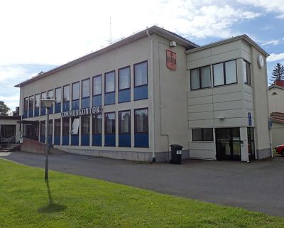
Hörnefors kommun
Location: Västerbotten County
Inception: January 1, 1914
Capital city: Hörnefors
Part of: Västerbotten, Umebygdens domsaga
GPS coordinates: 63.62748,19.91221
Latest update: March 9, 2025 20:03

Bonden lighthouse
22.4 km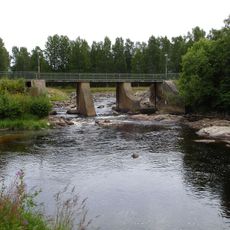
Hörnån
1.8 km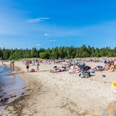
Bettnessands havsbad
9.7 km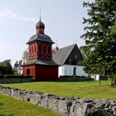
Nordmaling Church
21.4 km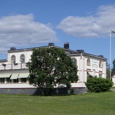
Levar Hotell
20.2 km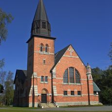
Hörnefors kyrka
772 m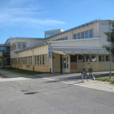
Nordmalings bibliotek
21.3 km
Hässningberget
23 km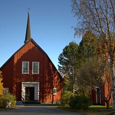
Strömbäck Church
17.1 km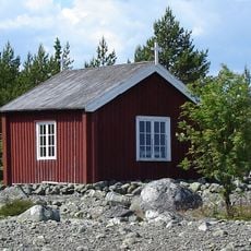
Snöans fiskekapell
16.4 km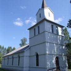
Hörnefors brukskyrka
905 m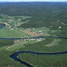
Hummelholm
22.8 km
Strömbäck-Kont
16.3 km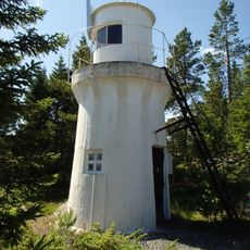
Bredskärssund lower light
20.2 km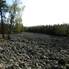
Långbergskullarnas naturreservat
15.5 km
Fjärdgrund fyr
21.7 km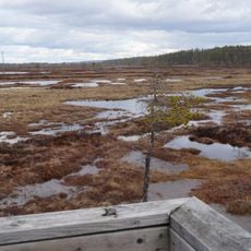
Torsmyran
15.5 km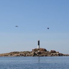
Örefjärden-Snöanskärgården
21.1 km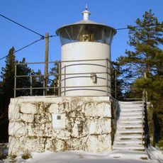
Bredskärssund upper light
20.3 km
Södra Degernässlätten - Sundet
22.8 km
Bjännberget
10 km
Hörnefors 4:3
10.4 km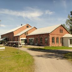
Norrbyskärs Museum
8.1 km
Hörnefors 4:1
10.4 km
Hörnefors 4:2
10.4 km
Stora stenen
12.3 km
Hörnefors 3:1
10.5 km
Hörnefors 4:4
10.4 kmReviews
Visited this place? Tap the stars to rate it and share your experience / photos with the community! Try now! You can cancel it anytime.
Discover hidden gems everywhere you go!
From secret cafés to breathtaking viewpoints, skip the crowded tourist spots and find places that match your style. Our app makes it easy with voice search, smart filtering, route optimization, and insider tips from travelers worldwide. Download now for the complete mobile experience.

A unique approach to discovering new places❞
— Le Figaro
All the places worth exploring❞
— France Info
A tailor-made excursion in just a few clicks❞
— 20 Minutes