
Municipality of Ribnica na Pohorju
Municipality of Ribnica na Pohorju, municipality of Slovenia
Location: Slovenia
Elevation above the sea: 715 m
Shares border with: Municipality of Radlje ob Dravi, Municipality of Podvelka
Website: http://ribnicanapohorju.si
GPS coordinates: 46.53722,15.27333
Latest update: March 4, 2025 17:57
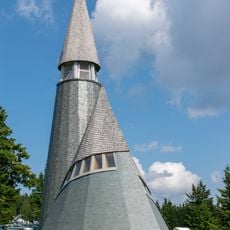
Church of the transfiguration of Jesus Christ
10.5 km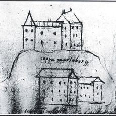
Marenberg Castle
9.8 km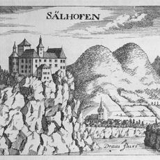
Vuzenica Castle
10.6 km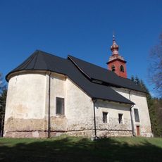
St. Ignatius of Loyola Church
5.9 km
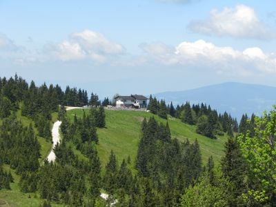
Lake Peak
4.9 km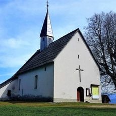
Church of Saint John the Baptist
4.2 km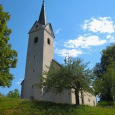
St. Anthony of Padua Parish Church
6 km
St. Lawrence's Parish Church
7.2 km
Kip sv. Miklavža, Lovrenc na Pohorju
8.6 km
St. Leonard's Church
12.2 km
Saint Ulrich's Church
12 km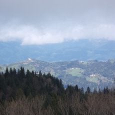
St. Wolfgang's Church
4.2 km
St. Bartholomew's Parish Church
476 m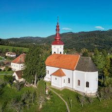
St. Lawrence's Parish Church
8.3 km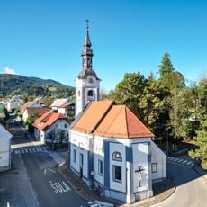
Holy Cross Church
8.8 km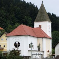
St. Giles's Parish Church
11.8 km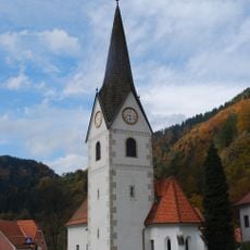
Assumption of Mary Parish Church
7.4 km
St. Michael's Parish Church
9.4 km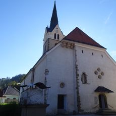
St. Nicholas's Parish Church
10.6 km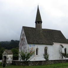
Saint Agathius's Church
12.3 km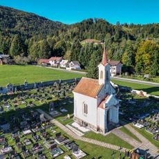
Kapela Marije Sedem žalosti, Lovrenc na Pohorju
8.1 km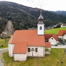
Cerkev sv. Radegunde, Lovrenc na Pohorju
8.5 km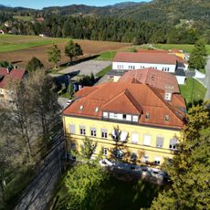
Stara šola, Lovrenc na Pohorju
8.8 km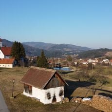
Župnijska pajštva
8.2 km
Domačija Klančnik
7.3 km
Domačija Ladejek
8.2 km
Župankova domačija
9.3 km
Hiša Gornji trg 16, Lovrenc na Pohorju
8.7 kmReviews
Visited this place? Tap the stars to rate it and share your experience / photos with the community! Try now! You can cancel it anytime.
Discover hidden gems everywhere you go!
From secret cafés to breathtaking viewpoints, skip the crowded tourist spots and find places that match your style. Our app makes it easy with voice search, smart filtering, route optimization, and insider tips from travelers worldwide. Download now for the complete mobile experience.

A unique approach to discovering new places❞
— Le Figaro
All the places worth exploring❞
— France Info
A tailor-made excursion in just a few clicks❞
— 20 Minutes