
Kužno znamenje ob cesti Apače-Črnci I, Apače, znamenje v Občini Apače
Location: Municipality of Apače
GPS coordinates: 46.69691,15.89793
Latest update: May 10, 2025 23:32
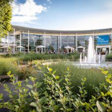
Parktherme Bad Radkersburg
6.2 km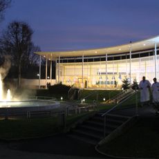
Parktherme Bad Radkersburg
6.3 km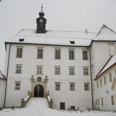
Gornja Radgona Castle
6.7 km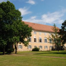
Schloss Halbenrain
4.8 km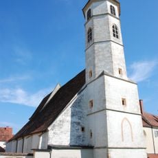
Pfarrkirche hl. Johannes der Täufer, Bad Radkersburg
6.8 km
Palais Herberstorff
6.8 km
Pfarrkirche Halbenrain
4.7 km
Finanzamt Bad Radkersburg
6.8 km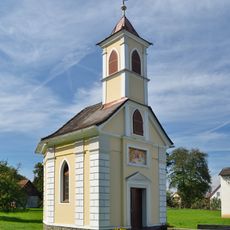
Ortskapelle Maria Hilf
3.8 km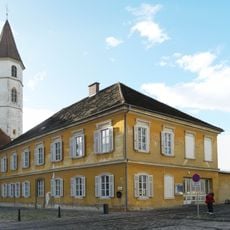
Musikschule, ehem. Volksschule
6.7 km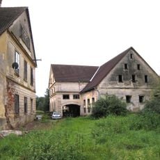
Meinlmühle, (Mühlengebäude, Kraftwerk samt Wehranlage, Wohnhaus, Säge, Nebengeb.)
3.7 km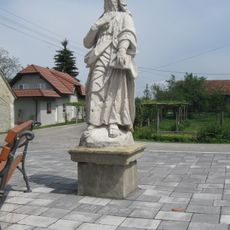
Kip sv. Pavla
6.2 km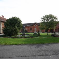
Rothof, Halbenrain
4.8 km
Bauernhaus Ressler
2.8 km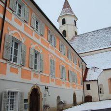
Dechantshof Bad Radkersburg
6.8 km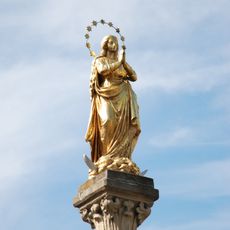
Mariensäule
4.7 km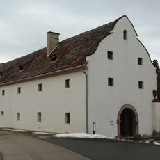
Schüttkasten, Halbenrain
4.8 km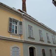
Pfarrgasse 1
6.8 km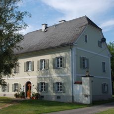
Pfarrhof Halbenrain
4.8 km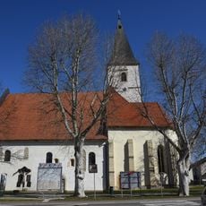
Assumption of Mary Parish Church
899 m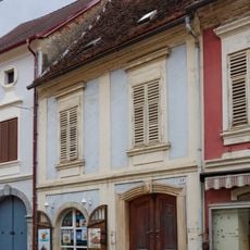
Bürgerhaus mit Teil der mittelalterlichen Stadtmauer
6.8 km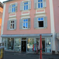
Bürgerhaus
6.8 km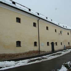
Gefangenenhaus Bad Radkersburg
6.8 km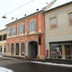
Wohn- und Geschäftshaus m. Wirtschaftsgebäude
6.8 km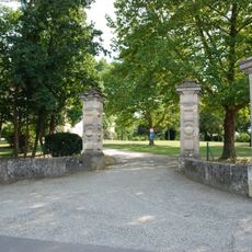
Gartenportal
4.8 km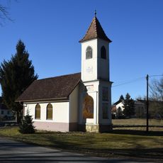
Ortskapelle Oberpurkla
5.4 km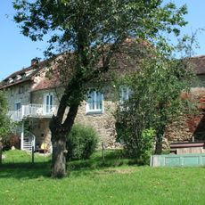
Befestigungsanlage
6.8 km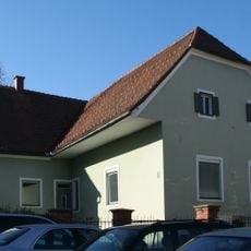
Wohnhaus, ehem. Wehrturm
6.7 kmReviews
Visited this place? Tap the stars to rate it and share your experience / photos with the community! Try now! You can cancel it anytime.
Discover hidden gems everywhere you go!
From secret cafés to breathtaking viewpoints, skip the crowded tourist spots and find places that match your style. Our app makes it easy with voice search, smart filtering, route optimization, and insider tips from travelers worldwide. Download now for the complete mobile experience.

A unique approach to discovering new places❞
— Le Figaro
All the places worth exploring❞
— France Info
A tailor-made excursion in just a few clicks❞
— 20 Minutes