
Domačija Spodnja Kapla 52
Location: Municipality of Podvelka
GPS coordinates: 46.61501,15.42529
Latest update: June 19, 2025 09:49
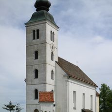
Holy Spirit Parish Church
2.6 km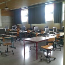
HTBLA Kaindorf
7.1 km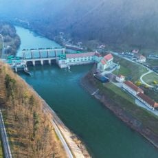
Fala Hydro Power Plant
6.7 km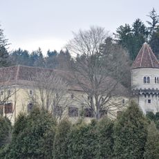
Trautenburg Castle
6.2 km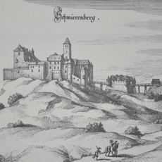
Ruine Schmirnberg
5.1 km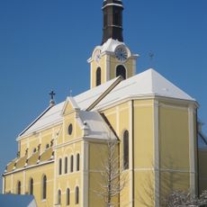
Saint Nicholas Church
6.7 km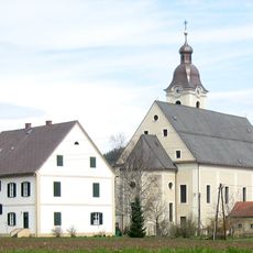
Church of the Nativity of the Virgin Mary (Arnfels)
7 km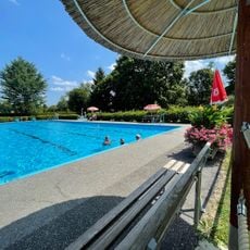
Freibad-Freizeitzentrum-Leutschach
6.4 km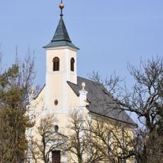
Kapelle Mariae Heimsuchung in Hochenegg
5.2 km
St. Mary of Help Parish Church, Puščava
7 km
Altes Rathaus
6.7 km
Schloss Arnfels
7 km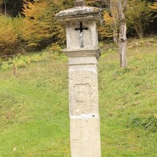
Znamenje, Ruta
7 km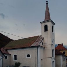
St. Oswald's Parish Church
4.3 km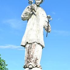
Figurenbildstock hl. Aloisius
7.8 km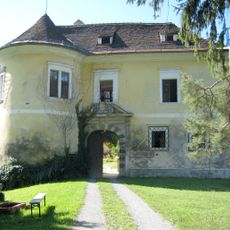
Schloss Arnfels
7.2 km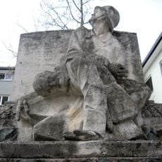
Kriegerdenkmal
7.2 km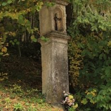
Znamenje pri pokopališču, Ruta
7.3 km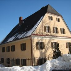
Pfarrhof
6.6 km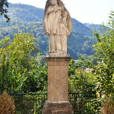
Figurenbildstock hl. Johannes Nepomuk
6.7 km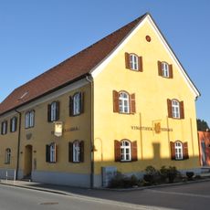
Kniely-Haus
6.7 km
Ehem. Herrschaftsspital
7.5 km
St. Catherine of Alexandria Church
4.5 km
Straßenbrücke mit Figurenbildstock hl. Johannes Nepomuk
7.1 km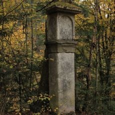
Znamenje pri kapeli sv. Ane, Kumen
7 km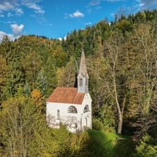
Kapela sv. Ane, Kumen
6.9 km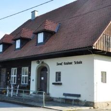
Volksschule, sog. Josef Krainer-Schule
5.8 km
Weingartenhaus
7.6 kmReviews
Visited this place? Tap the stars to rate it and share your experience / photos with the community! Try now! You can cancel it anytime.
Discover hidden gems everywhere you go!
From secret cafés to breathtaking viewpoints, skip the crowded tourist spots and find places that match your style. Our app makes it easy with voice search, smart filtering, route optimization, and insider tips from travelers worldwide. Download now for the complete mobile experience.

A unique approach to discovering new places❞
— Le Figaro
All the places worth exploring❞
— France Info
A tailor-made excursion in just a few clicks❞
— 20 Minutes