
Branč, municipality of Slovakia
Location: Nitra District
Inception: 1156
Elevation above the sea: 133 m
Website: https://branc.sk
GPS coordinates: 48.21167,18.14639
Latest update: May 3, 2025 16:35
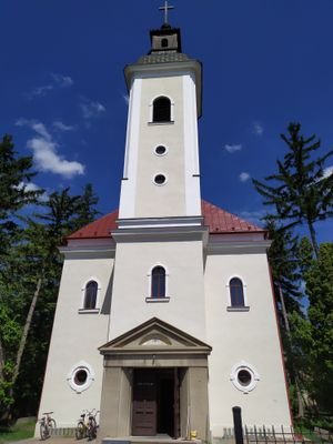
St. Peter and Paul Church
8.3 km
Kadaň
7 km
Žitavská pahorkatina
8.9 km
Torozlín
8.2 km
Kostol sv. Petra a Pavla
8.3 km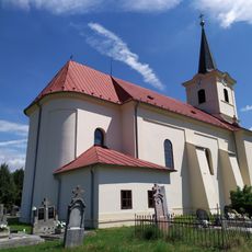
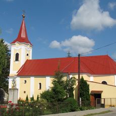
Farský kostol sv. Martina
4.4 km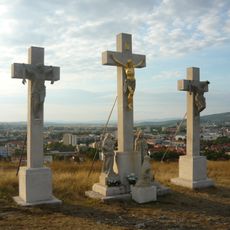
Kalvária, súsošie-socha I.
10.3 km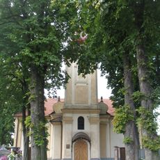
Kostol sv. Ondreja
7.6 km
Markhotovská kúria
3.7 km
Kalvária, kaplnka s pódiom
7.1 km
Kalvária, súsošie-kríž s korpusom I.
7.1 km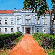
Mojmírovce Manor house
6.3 km
Socha Zarmútený Kristus, socha
3.2 km
Kalvária, súsošie-socha II.
10.3 km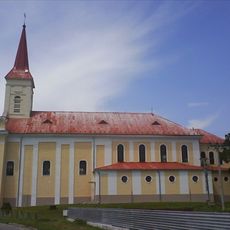
Farský kostol sv. Alžbety
6.5 km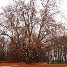
Plane tree from Komjatice
6.7 km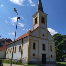
Kostol sv. Benedikta
3 km
Hrádok Arkuš
1.8 km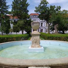
Veľký kaštieľ, park
6.3 km
Socha Zarmútený Kristus, pilier
3.2 km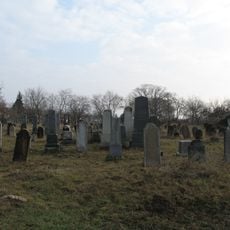
Jewish cemetery in Mojmírovce
6.6 km
Hármas Mária, súsošie
3.9 km
Kalvária, súsošie-kríž s korpusom I.
10.3 km
Kalvária, súsošie-kríž s korpusom II.
10.3 km
Kalvária, kaplnka krížovej cesty
10.3 km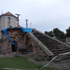
Kalvária, súsošie-kríž s korpusom III.
7.1 km
Kalvária, súsošie-kríž s korpusom II.
7.1 km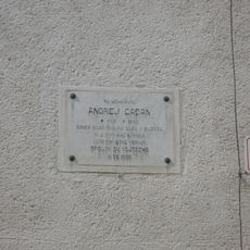
Pamätná fara, tabuľa pamätná
6.5 kmReviews
Visited this place? Tap the stars to rate it and share your experience / photos with the community! Try now! You can cancel it anytime.
Discover hidden gems everywhere you go!
From secret cafés to breathtaking viewpoints, skip the crowded tourist spots and find places that match your style. Our app makes it easy with voice search, smart filtering, route optimization, and insider tips from travelers worldwide. Download now for the complete mobile experience.

A unique approach to discovering new places❞
— Le Figaro
All the places worth exploring❞
— France Info
A tailor-made excursion in just a few clicks❞
— 20 Minutes