
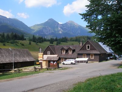
Ždiar, municipality of Slovakia
Location: Poprad District
Inception: 1409
Elevation above the sea: 896 m
Shares border with: Tatranská Javorina
Website: http://zdiar.sk
GPS coordinates: 49.27083,20.26528
Latest update: April 3, 2025 18:34
Rabenstein
5.5 km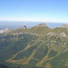
Greiner
5.1 km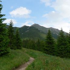
Törrichter Gern
5 km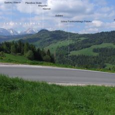
Magurka (Magura Spiska)
2.3 km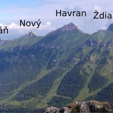
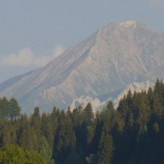
Belianske Tatry
4.5 km
Slodiczowski Wierch
2.4 km
Bujačí vrch
4.5 km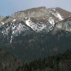
Nowy Wierch
6.1 km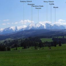
Prehrštie
2.9 km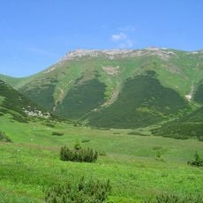
Zadné Jatky
4.4 km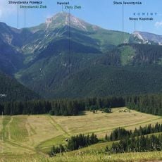
Veľký Rigeľ
3.5 km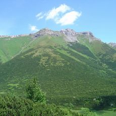
Predné Jatky
4.5 km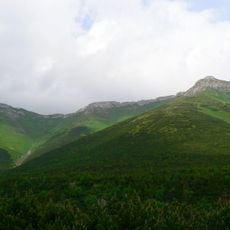
Prostredné Jatky
4.2 km
Tokarnia
1.5 km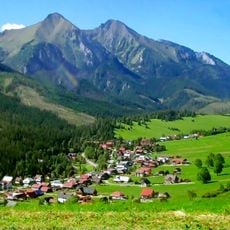
Ždiarska brázda
3.3 km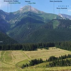
Stara Jaworzynka
4.7 km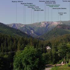
Jaworzynka Bielska
1.6 km
Golica Bielska
4.7 km
Przysłop
4.6 km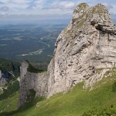
Nižný Havran
5.6 km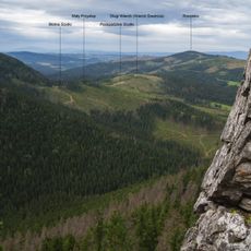
Mały Przysłop (Tatry Bielskie)
4.2 km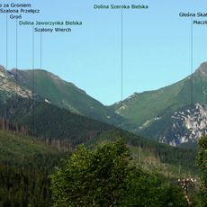
Groń (Tatry Bielskie)
2.9 km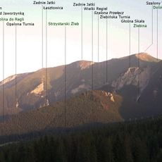
Żlebina
3.7 km
Strednica
4.3 km
Turnia nad Jaworzynką
3.3 km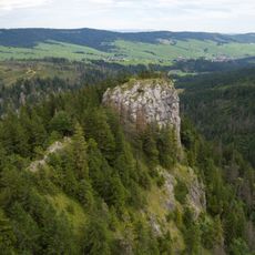
Malý Rigeľ
3 km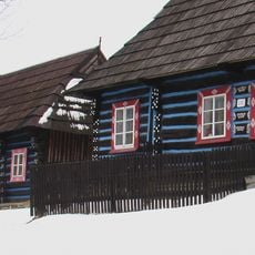
Roľnícka usadlosť, dom ľudový
153 m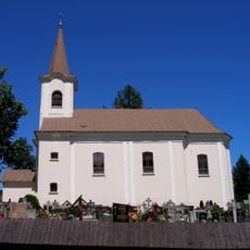
Farský kostol Panny Márie
258 mVisited this place? Tap the stars to rate it and share your experience / photos with the community! Try now! You can cancel it anytime.
Discover hidden gems everywhere you go!
From secret cafés to breathtaking viewpoints, skip the crowded tourist spots and find places that match your style. Our app makes it easy with voice search, smart filtering, route optimization, and insider tips from travelers worldwide. Download now for the complete mobile experience.

A unique approach to discovering new places❞
— Le Figaro
All the places worth exploring❞
— France Info
A tailor-made excursion in just a few clicks❞
— 20 Minutes