
Palota, municipality of Slovakia
Location: District of Medzilaborce
GPS coordinates: 49.26967,21.99414
Latest update: March 14, 2025 14:53
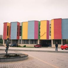
Muzeum Sztuki Nowoczesnej Andy Warhola
6.5 km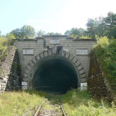
Lupkow tunnel
3.8 km
Monastery of the Descent of the Holy Spirit
8.7 km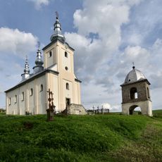
Saint Nicholas church in Smolnik
9.5 km
Saint Demetrius church in Radoszyce
5.5 km
Medzilaborce Miasto
6.8 km
Kaplica św. Józefa w Dołżycy
6.6 km
Beskyd (nature reserve)
8.7 km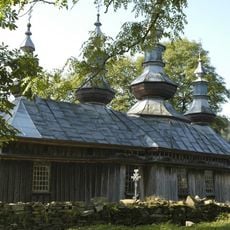
Wooden Orthodox church in Komańcza
9 km
Chrám sv. Michala, kostol
5 km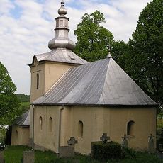
Chrám Narodenia Panny Márie
8.7 km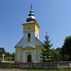
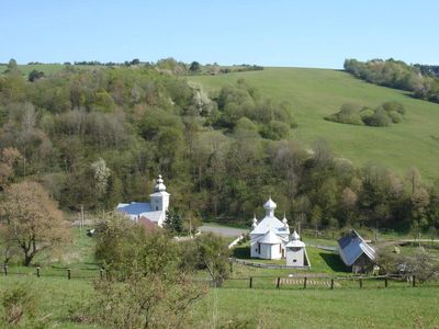
Greek Catholic church of the Nativity of Our Lady in Palota
687 m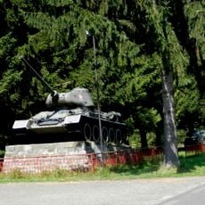
Prechod hraníc sov. arm.
6.9 km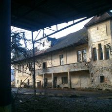
Kaštieľ a park, kaštieľ
7.7 km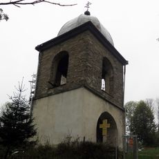
Dzwonnica w Smolniku
9.5 km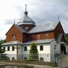
Greek Catholic Church in Komańcza
9.1 km
Dolzyca - Wdsp. na rz. Dolzycy.
7 km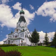
Chrám sv. Petra a Pavla
6.4 km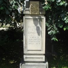
Pomník legionárom
6.6 km
Pomník oslobodenia
7.7 km
Cmentarz
9 km
9 Smolnik
9.1 km
Bazilánsky kláštor, kláštor baziliánov
8.7 km
Chrám sv. Michala, zvonica
5 km
Belfry at Saint Demetrius church in Radoszyce
5.5 km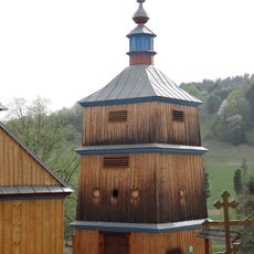
Dzwonnica
9 km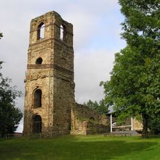
Bazilánsky kláštor, kaplnka
8.7 km
Spichrz
9 kmVisited this place? Tap the stars to rate it and share your experience / photos with the community! Try now! You can cancel it anytime.
Discover hidden gems everywhere you go!
From secret cafés to breathtaking viewpoints, skip the crowded tourist spots and find places that match your style. Our app makes it easy with voice search, smart filtering, route optimization, and insider tips from travelers worldwide. Download now for the complete mobile experience.

A unique approach to discovering new places❞
— Le Figaro
All the places worth exploring❞
— France Info
A tailor-made excursion in just a few clicks❞
— 20 Minutes