
Oľšinkov, municipality of Slovakia
Location: Medzilaborce District
Inception: 1567
Elevation above the sea: 443 m
Website: https://olsinkov.webnode.sk
GPS coordinates: 49.19970,22.03930
Latest update: March 3, 2025 01:42
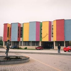
Muzeum Sztuki Nowoczesnej Andy Warhola
12.4 km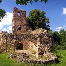
Monastery of the Descent of the Holy Spirit
10.8 km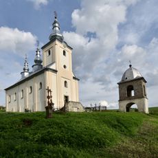
Saint Nicholas church in Smolnik
9.5 km
Saint Demetrius church in Radoszyce
11.7 km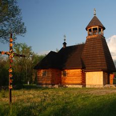
Kościół Matki Boskiej Częstochowskiej w Woli Michowej
9.9 km
Hostovické lúky
9.5 km
Medzilaborce Miasto
13 km
Orthodox church of the Ascension of Jesus Christ in Osadné
10.6 km
Beskyd (nature reserve)
2.5 km
Chrám sv. Michala, kostol
6.2 km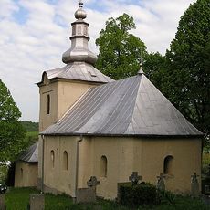
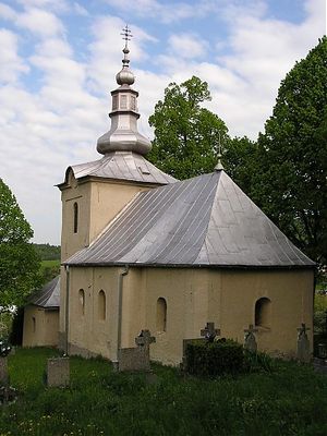
Chrám Narodenia Panny Márie
211 m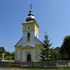
Greek Catholic church of the Nativity of Our Lady in Palota
8.5 km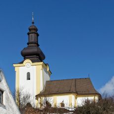
Chrám sv. Demetera
3.8 km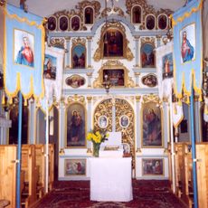
Chrám sv. Mikuláša
12.2 km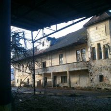
Kaštieľ a park, kaštieľ
11.2 km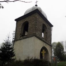
Dzwonnica w Smolniku
9.5 km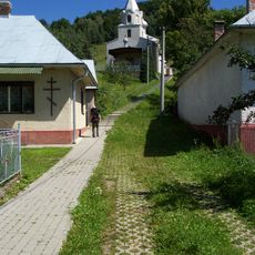
Chrám Nanebovstúpenia Pána, kostol
10.6 km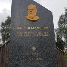
Pomník Anatolijovi Kralickému
10.6 km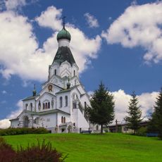
Chrám sv. Petra a Pavla
12.5 km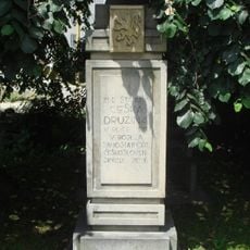
Pomník legionárom
12.5 km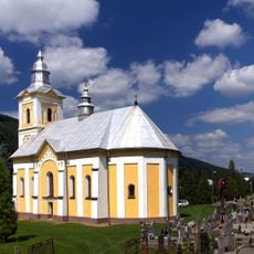
Chrám Narození Přesvaté Bohorodičky
10.2 km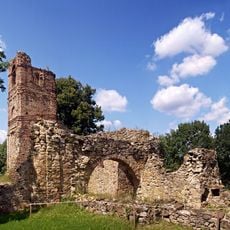
Bazilánsky kláštor, kláštor baziliánov
10.8 km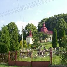
Chrám sv. Michala, zvonica
6.2 km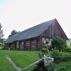
9 Smolnik
8.6 km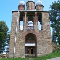
Belfry at Saint Demetrius church in Radoszyce
11.7 km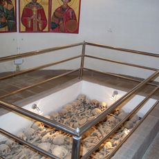
Chrám Nanebovstúpenia Pána, krypta
10.6 km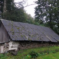
Spichrz
8.6 km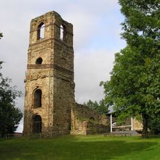
Bazilánsky kláštor, kaplnka
10.8 kmVisited this place? Tap the stars to rate it and share your experience / photos with the community! Try now! You can cancel it anytime.
Discover hidden gems everywhere you go!
From secret cafés to breathtaking viewpoints, skip the crowded tourist spots and find places that match your style. Our app makes it easy with voice search, smart filtering, route optimization, and insider tips from travelers worldwide. Download now for the complete mobile experience.

A unique approach to discovering new places❞
— Le Figaro
All the places worth exploring❞
— France Info
A tailor-made excursion in just a few clicks❞
— 20 Minutes