
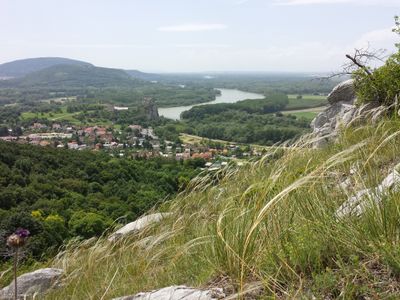
Dolnomoravská niva
Location: Senica District
Location: Malacky District
Location: Bratislava IV
Part of: Borská nížina
GPS coordinates: 48.44300,16.86500
Latest update: March 3, 2025 12:01
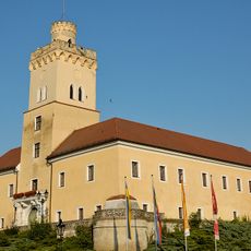
Schloss Dürnkrut
3.6 km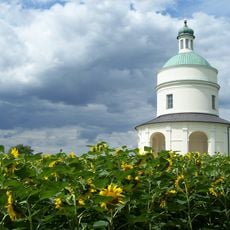
The Chapel of St. Roch
4.9 km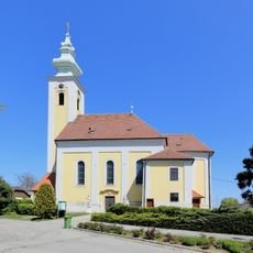
Saint James the Greater Church (Dürnkrut)
3.8 km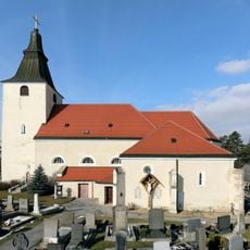
St. Georg
3.8 km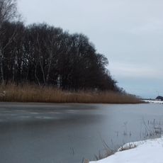
Pruxe
2.9 km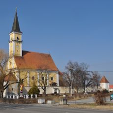
Church of the Annunciation
5.1 km
Jewish cemetery Dürnkrut
3.7 km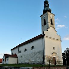
Pfarrkirche Waidendorf
4.2 km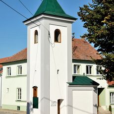
Ortskapelle Grub
3.5 km
Statue of John of Nepomuk on Kirchenplatz in Waidendorf
4.4 km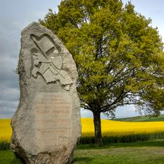
Battle on the Marchfeld Memorial
4.6 km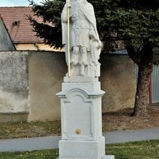
Figurenbildstock hl. Florian
4.1 km
Museum Stillfried
3.7 km
Figurenbildstock hl. Johannes Nepomuk
3.3 km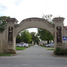
Rundbogenportal
3.5 km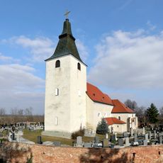
Kirchhof
3.8 km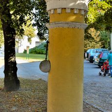
Rundpfeiler
3.7 km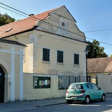
Pfarrhof
3.8 km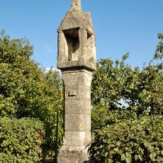
Tabernakelpfeiler
4.2 km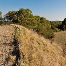
Urzeitliche Siedlung am Buhuberg
1.4 km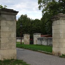
Portal mit zwei Pfeilern
3.5 km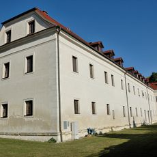
Ehem. Meierhof des Schlosses Dürnkrut
3.5 km
Figurenbildstock hl. Johannes Nepomuk
3.3 km
Pfeilerportal mit Gittertor
3.5 km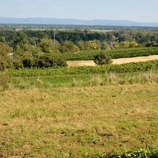
Befestigte Höhensiedlung Kirchenberg
3.8 km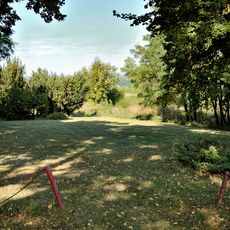
Befestigte Höhensiedlung Kirchenberg
3.8 km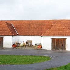
Ehem. Herrschaftsstadl
5.2 km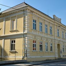
Volksschule und Museum
3.8 kmReviews
Visited this place? Tap the stars to rate it and share your experience / photos with the community! Try now! You can cancel it anytime.
Discover hidden gems everywhere you go!
From secret cafés to breathtaking viewpoints, skip the crowded tourist spots and find places that match your style. Our app makes it easy with voice search, smart filtering, route optimization, and insider tips from travelers worldwide. Download now for the complete mobile experience.

A unique approach to discovering new places❞
— Le Figaro
All the places worth exploring❞
— France Info
A tailor-made excursion in just a few clicks❞
— 20 Minutes