
Priehyb, mountain
Location: District of Kysucké Nové Mesto
GPS coordinates: 49.32026,18.88157
Latest update: March 13, 2025 09:16

Ľadonhora
4.3 km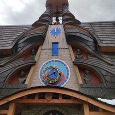
Slovak Astronomical Clock in Stará Bystrica
4.9 km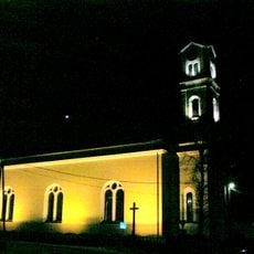
Church of St Andrew
8.5 km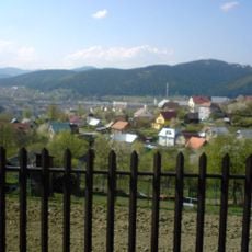
Budatínska Lehota
6.5 km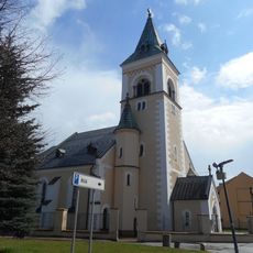
Saint James the Greater church, Kysucké Nové Mesto
6.9 km
Veľký Vreteň
8.2 km
Holý vrch
4.1 km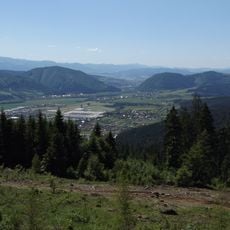
Kysucká kotlina
8.6 km
Tábor
8 km
Ľadonhora
4.1 km
Magura
7.4 km
Vadičovská brázda
6.5 km
Saint Michael Archangel (Stará Bystrica)
5 km
Požeha
7.9 km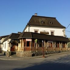
Pivovar
6.9 km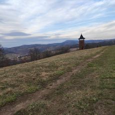
Diel (Javorníky)
8.4 km
Socha sv. Jána Nepomuckého
7.1 km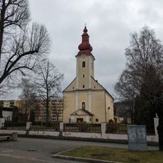
Kostol Panny Márie
7.1 km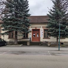
Mestská knižnica
7.3 km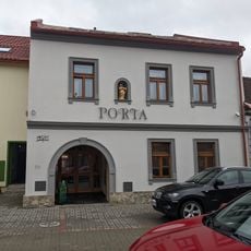
Meštiansky dom
7.1 km
Maľba nástenná
8.5 km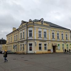
Hotel Mýto
7 km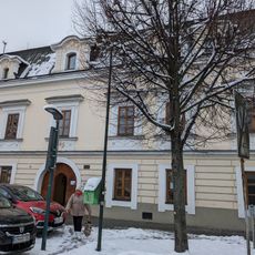
Mestská knižnica
7.1 km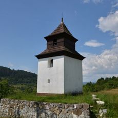
Zvonica
2.4 km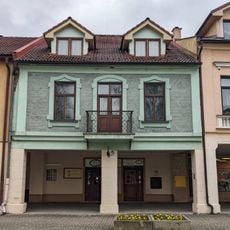
Meštiansky dom
7 km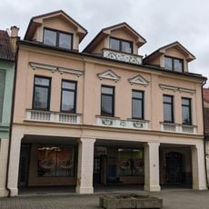
Meštiansky dom
7 km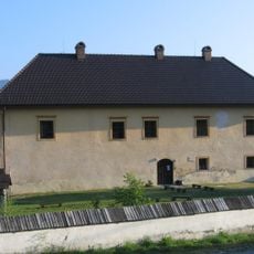
Kaštieľ Radoľa
7.3 km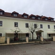
Stará fara, hotel
6.9 kmReviews
Visited this place? Tap the stars to rate it and share your experience / photos with the community! Try now! You can cancel it anytime.
Discover hidden gems everywhere you go!
From secret cafés to breathtaking viewpoints, skip the crowded tourist spots and find places that match your style. Our app makes it easy with voice search, smart filtering, route optimization, and insider tips from travelers worldwide. Download now for the complete mobile experience.

A unique approach to discovering new places❞
— Le Figaro
All the places worth exploring❞
— France Info
A tailor-made excursion in just a few clicks❞
— 20 Minutes