
Sao Hai, district in Saraburi province, Thailand
Location: Saraburi
Elevation above the sea: 16 m
GPS coordinates: 14.55028,100.85750
Latest update: March 4, 2025 11:11

Wat Phra Phutthabat
20.1 km
Wat Maheyong
35.2 km
Prasat Nakhon Luang
28.2 km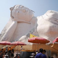
Wat Satue
10.6 km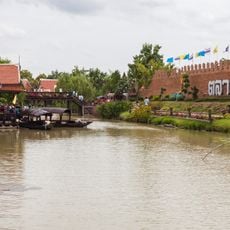
Ayothaya Floating Market
35.6 km
Wat Sakae
32.6 km
Wat Phra Phutthachai
14 km
Namtok Sam Lan National Park
17 km
Wat Pa Sawang Bun
33.2 km
Wat Khao Kaeo Worawihan
2.9 km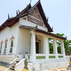
Wat Samuha Pradit Tharam
491 m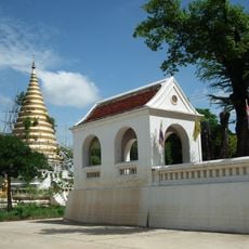
Wat Wara Nayok Rangsan
35.2 km
Wat Khao Wong
13.7 km
Wat Kaeng Khanun
7.3 km
Saraburi Stadium
5.2 km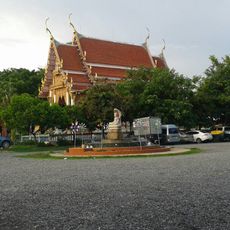
Wat Khao Khuba
7.9 km
Wat Mai Chumphon
28 km
Wat Phra Phutthabat Noi
17.3 km
Wat Mai Ruak
15.2 km
Wat Dao Rueang
4 km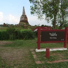
Wat Chang
35.3 km
Wat Nong No Nuea
6.4 km
Wat Chung
2 km
Wat Chanthaburi
3.2 km
Wat Huai Li
12.7 km
Wat Nong Nok Chum
11 km
Wat Nong No Tai
6.8 km
Wat Khok Pho Kunchon
34.2 kmReviews
Visited this place? Tap the stars to rate it and share your experience / photos with the community! Try now! You can cancel it anytime.
Discover hidden gems everywhere you go!
From secret cafés to breathtaking viewpoints, skip the crowded tourist spots and find places that match your style. Our app makes it easy with voice search, smart filtering, route optimization, and insider tips from travelers worldwide. Download now for the complete mobile experience.

A unique approach to discovering new places❞
— Le Figaro
All the places worth exploring❞
— France Info
A tailor-made excursion in just a few clicks❞
— 20 Minutes