Nam Tok Thap The Wa, Wasserfall in Thailand
Location: Sa Kaeo
Elevation above the sea: 217 m
GPS coordinates: 13.99111,102.30806
Latest update: November 13, 2025 07:51

Pang Sida National Park
11.2 km
Dong Yai Wildlife Sanctuary
41.6 km
Wat Sa Kaeo
32.3 km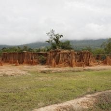
Lalu
32.2 km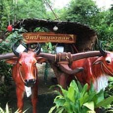
วัดป่าหลวงปู่หมุน
20.1 km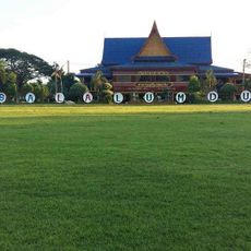
Wat Sala Lamduan
34.8 km
Wat Khok Saphan Khao
40 km
Wat Chana Chaisi
40.5 km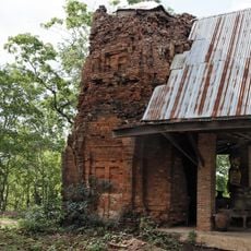
Prasat Khao Lon
42.6 km
Nam Tok Pang Sida
11 km
Ang Kep Nam Chong Klam Lang
4.5 km
Phra Prong Reservoir
13.1 km
Ang Kep Nam Huai Chan
15.4 km
Ang Kep Nam Khuean Lam Plai Mat
37.2 km
Ang Kep Nam Huai Yang
36.6 km
Nam Tok Khwae Makha
16.1 km
Nam Tok Wang Sa-Duean
33.4 km
Ang Kep Nam Tha Krabak
5 km
Ang Kep Nam Khao Sam Sip
38 km
Nam Tok Nam Tom
29 km
1000 years old Sacred tree
30.2 km
Temple
39 km
Dong Yai Wildlife Sanctuary
33.3 km
Statue, Work of art
40.5 km
ปางสีดา
10.9 km
ปราสาทเมืองไผ่
37 km
ศาลหลักเมือง
29.4 km
Prasat Khao Lon
42.6 kmReviews
Visited this place? Tap the stars to rate it and share your experience / photos with the community! Try now! You can cancel it anytime.
Discover hidden gems everywhere you go!
From secret cafés to breathtaking viewpoints, skip the crowded tourist spots and find places that match your style. Our app makes it easy with voice search, smart filtering, route optimization, and insider tips from travelers worldwide. Download now for the complete mobile experience.

A unique approach to discovering new places❞
— Le Figaro
All the places worth exploring❞
— France Info
A tailor-made excursion in just a few clicks❞
— 20 Minutes