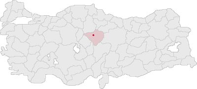
Yozgat, Administrative center in Central Anatolia Region, Turkey.
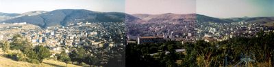
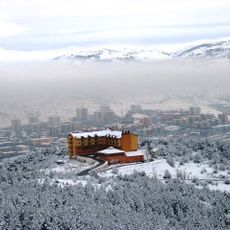
Yozgat is a city in the central Anatolian part of Turkey, sitting at 1,406 meters elevation in a valley of the Ak Mountains and surrounded by farmland and forested slopes. The streets follow a regular pattern around a central square where shops, cafés and public buildings gather, while residential neighborhoods extend toward the gentle hills at the edge of town.
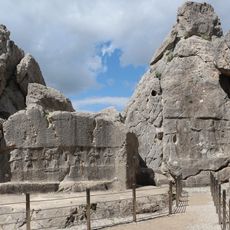
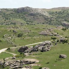
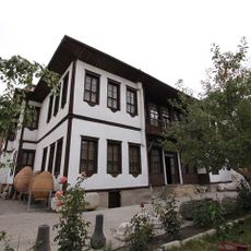
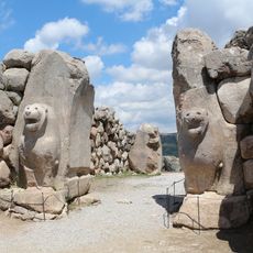
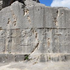
On the Kerkenes plateau nearby, archaeologists found traces of the ancient city of Pteria, which was destroyed in 585 BC. During the 18th century, the place gained its current importance under the rule of the Çapanoğlu dynasty, which built a regional administration here.
The Çapanoğlu family mosque displays construction elements from several centuries and still serves the local community as a place for prayer. Villages around the city carry names tracing back to Turkmen tribes who settled here during medieval times and shaped the region over generations.
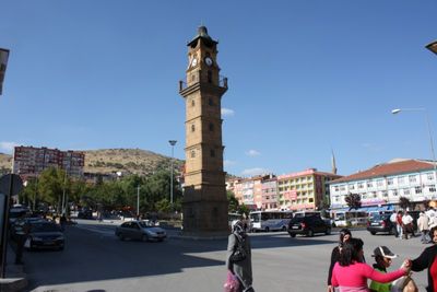
The main road between Sivas and Ankara runs through town and provides regular bus connections in both directions, although there is no direct rail service. Walking shoes and warm clothing are helpful during the colder months, as the elevation brings low temperatures and paths in the surrounding forests are often damp.
The Yozgat pine park contains trees reaching up to 500 years of age and ranks among the oldest in all of central Anatolia. Some of these pines grow over 30 meters (100 feet) tall and form a dense canopy that provides shade in summer and shelter from wind in winter.
The community of curious travelers
AroundUs brings together thousands of curated places, local tips, and hidden gems, enriched daily by 60,000 contributors worldwide.