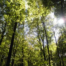
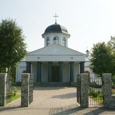
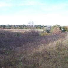
Black Forest, Forest in Kirovohrad region, Ukraine.
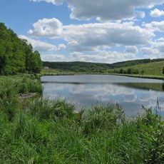
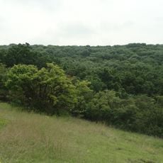
The Black Forest is an ash-oak woodland on the watershed between the Inhulets and Tiasmyn rivers in Kirovohrad region. Its 7,400 hectares, 6,900 of them wooded, lie on a high plateau cut by ravines. In a deep ravine sits the sphagnum bog with Lake Berestuvate at its centre, about 16 hectares in all.
In the 16th–17th centuries the forest lay on the border of the Wild Field, near the Chorny Shlyakh raiding route used by Tatars. In the 18th century it belonged to the Zaporozhian Sich and later New Serbia, and served as a base for Haidamaka detachments. A hillfort of the Chornolis culture, dated to the 3rd century BCE, was excavated nearby in 1949; it had three lines of ramparts and 265 burial mounds to the east.
The forest gives its name to the Chornolis archaeological culture, identified from a hillfort near Lake Berestuvate with three rings of ramparts and ditches and 265 burial mounds to its east. Ukrainian sources also list Chorny Lis among the country's seven mystical places, and the forest was a base for haidamaka detachments raiding Polish-held lands in the 18th century.
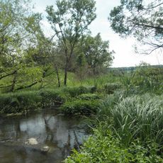
The bog and Lake Berestuvate lie on the floor of a deep ravine, reached by forest tracks; the sphagnum bog is a protected hydrological monument of 2 ha, so walkers should stay on dry paths and wear boots. The forest spans the watershed between the Inhulets and Tiasmyn rivers, and the southernmost sphagnum bog in Ukraine keeps the ground wet year-round.
Lake Berestuvate holds only one fish species, the golden crucian carp. The bog around it is the southernmost sphagnum bog in Ukraine, and its floating islands of sphagnum, reed, marsh fern and willow form on the water. Its origin lies in meltwater collected during and after the Ice Age.
The community of curious travelers
AroundUs brings together thousands of curated places, local tips, and hidden gems, enriched daily by 95,121 contributors worldwide.