
Husiatyn, administrative territorial entity of Ukraine
Location: Husiatyn Raion
Inception: 1431
Elevation above the sea: 300 m
Website: http://husyatin.com.ua
GPS coordinates: 49.07081,26.19388
Latest update: March 3, 2025 12:25
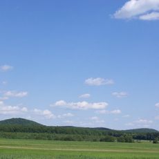
Bohyt
12.7 km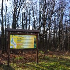
Сатанівський лісовий заказник
12.4 km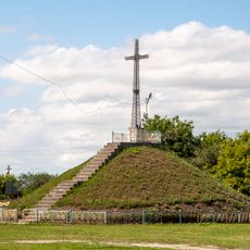
Symbolic grave for fighters for the Freedom of Ukraine
11 km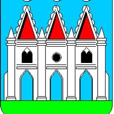
Zamek w Husiatynie
2.4 km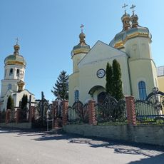
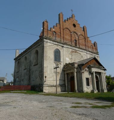
Церква Різдва Пречистої Діви Марії
9.1 km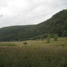
Ivankivtsi Nature Reserve
12.6 km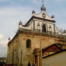
Bernardine Monastery in Husiatyn
790 m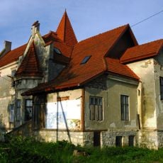
Palace in Lychkivtsi
9 km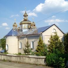
Saint Onuphrius church
1.1 km
Чемеровецький парк
12.3 km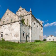
Immaculate Conception church
8.7 km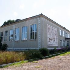
Gymnasium in Tovstenke
11.3 km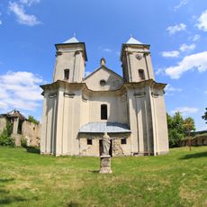
Saint Mary church in Sydoriv
6.9 km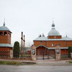
Saint Paraskeva church
14.1 km
Vilkhovetski Tovtry
6.5 km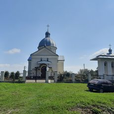
Church of the Dormition, Vasylkiv, Ternopil Oblast
9.9 km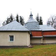
Church of John the Baptist, Zelena, Husiatyn Hromada
9.5 km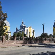
Church of the Nativity of the Virgin Mary, Vasylkivtsi, Ternopil Oblast
9.7 km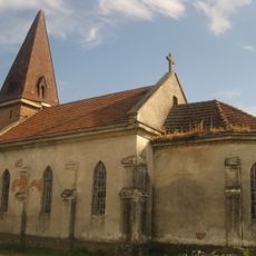
Saint Michael church, Chabarivka
4.8 km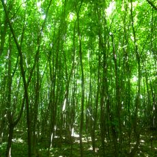
Ivakhnivtsi Forest
14.4 km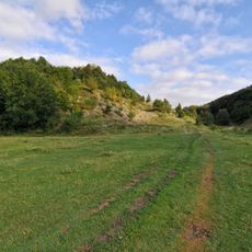
Husiatyn outcrop of Silurian
778 m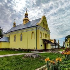
Church of the Holy Trinity
11 km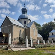
Church of John the Baptist
9.7 km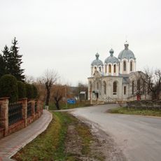
Saint Volodymyr church
14 km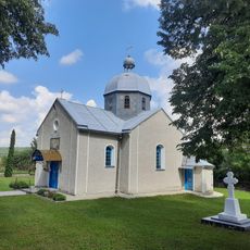
Presentation of the Blessed Virgin Mary Church
13.8 km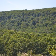
Коцюбинчики (заказник)
13 km
Roman Catholic church, Tovstenke
11.2 km
Sataniv Nature Reserve
12.6 kmVisited this place? Tap the stars to rate it and share your experience / photos with the community! Try now! You can cancel it anytime.
Discover hidden gems everywhere you go!
From secret cafés to breathtaking viewpoints, skip the crowded tourist spots and find places that match your style. Our app makes it easy with voice search, smart filtering, route optimization, and insider tips from travelers worldwide. Download now for the complete mobile experience.

A unique approach to discovering new places❞
— Le Figaro
All the places worth exploring❞
— France Info
A tailor-made excursion in just a few clicks❞
— 20 Minutes