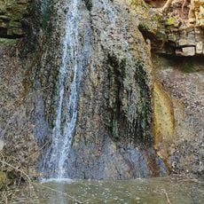
Koropets, Settlement at Dniester River confluence, Ukraine.
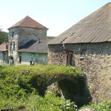
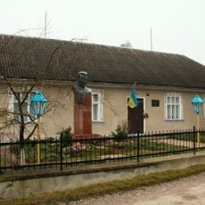
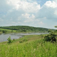
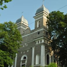
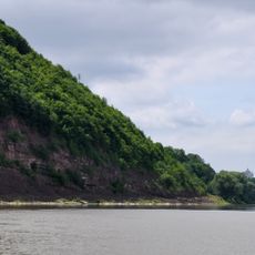
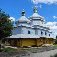
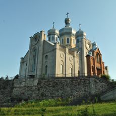
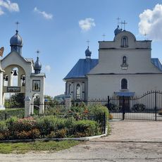
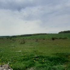
Koropets is an urban-type settlement in the Monastyryska Raion of Ternopil Oblast, in western Ukraine, set in a river valley near the Koropets river. The settlement is compact and consists of residential buildings, a neoclassical palace, and the typical features of a small Ukrainian locality.
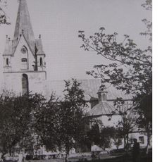
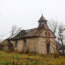
Koropets was first recorded in 1421 and spent centuries under the Polish-Lithuanian Commonwealth before passing through Habsburg and later Soviet rule. A national administrative reform in 2020 placed it within Chortkiv Raion as Ukraine reorganized its territorial structure.
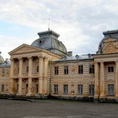
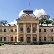
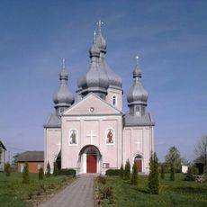
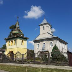
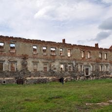
The neoclassical palace built for Count Stanisław Badeni still shapes how the settlement looks today and is visible from the surrounding streets. The building gives visitors a direct sense of how Polish noble families once lived in this part of western Ukraine.
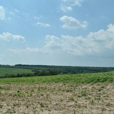
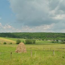
The settlement is easy to walk around, with the main points of interest close to one another. Summer months offer the most comfortable conditions for exploring the streets and getting a clear view of the palace and the surrounding countryside.
In January 2024, Koropets was officially reclassified from an urban-type settlement to a rural settlement, a rare change in the Ukrainian administrative system. This kind of downgrade in official status happens infrequently and shows how small localities can shift category over time without any physical change to the place itself.
The community of curious travelers
AroundUs brings together thousands of curated places, local tips, and hidden gems, enriched daily by 60,000 contributors worldwide.