
Tarnoruda, village in Volochysk Raion, Khmelnytsky Oblast, Ukraine
Location: Volochysk Raion
Location: Khmelnytskyi Raion
Elevation above the sea: 290 m
GPS coordinates: 49.41361,26.23694
Latest update: March 3, 2025 08:20
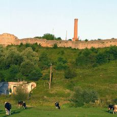
Sataniv Castle
18.2 km
Viitivtsi
17.7 km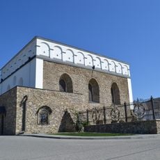
Sataniv Synagogue
17.9 km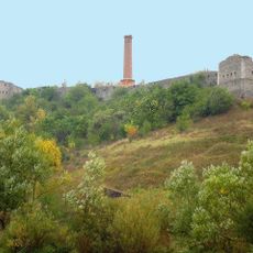
Sataniv Perlyna
17.4 km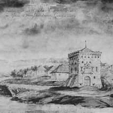
Sataniv Gate
18.1 km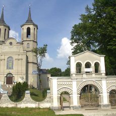
Сатанівський костел
18.2 km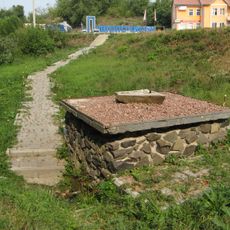
Pidvolochysk Spring
14.6 km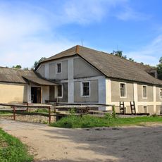
Sataniv Watermill
18.2 km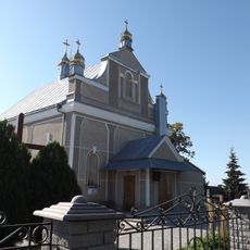
Церква святого Миколая (Староміщина)
15.6 km
Pidvolochysk sanctuary
15.3 km
Saint Anne church, Volytsia, Chortkiv Raion
15.5 km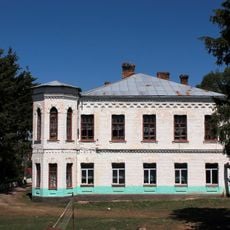
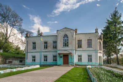
Палац Мордвінова у Тарноруді
967 m
Liubovnia mountain
12.2 km
Muzykova Skala
13.8 km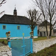
Saint Paraskeva church
13.6 km
Thuja Piramidalna
14 km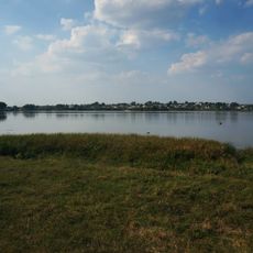
Hrabarkivskyi zakaznyk
14.5 km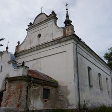
Saint Michael church, Kachanivka, Ternopil Oblast
10.4 km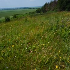
Skalatska Stepova Dilianka
13.9 km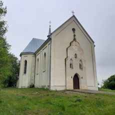
Church of Our Lady of Perpetual Help and Saint Wencesla, Ostapie, Skalat Hromada
15 km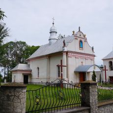
Saint Michael church, Kachanivka, Ternopil Oblast (OCU and UGCC)
10.3 km
Сірчано-водневе джерело
14.1 km
Іванівський гідрологічний заказник
15.8 km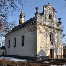
Saint Stanislaus church in Tarnoruda
1 km
Tarasivskyi Nature Reserve
12.5 km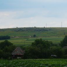
Ostantsi Podilskykh Tovtriv
17.9 km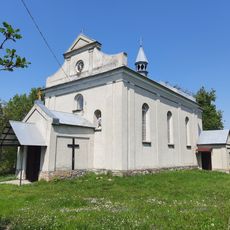
Church of Saint Anthony and the Transfiguration, Krasne
13.3 km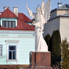
Sculpture of Angel, Pidvolochysk
14.6 kmVisited this place? Tap the stars to rate it and share your experience / photos with the community! Try now! You can cancel it anytime.
Discover hidden gems everywhere you go!
From secret cafés to breathtaking viewpoints, skip the crowded tourist spots and find places that match your style. Our app makes it easy with voice search, smart filtering, route optimization, and insider tips from travelers worldwide. Download now for the complete mobile experience.

A unique approach to discovering new places❞
— Le Figaro
All the places worth exploring❞
— France Info
A tailor-made excursion in just a few clicks❞
— 20 Minutes