Novi Sanzhary, urban-type settlement in Ukraine
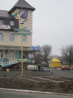
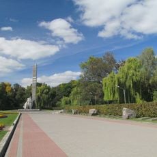
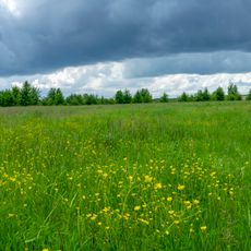
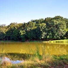
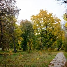
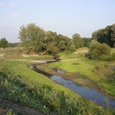
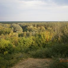
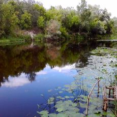
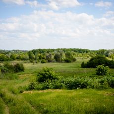
Novi Sanzhary is a small rural settlement in the Poltava region that sits along the banks of the Vorskla River and features quiet streets lined with simple stone and wooden houses. The settlement has a modest center with shops, a school, and a park, while fields of wheat and barley define the landscape surrounding the area.
The settlement was founded in 1243, originally at the site of a Tatar winter camp called Saint-Chariv. In the 17th century, Cossacks settled there, and in 1923 the place gained status as a district center, a role that ended in 2020 following an administrative reform.
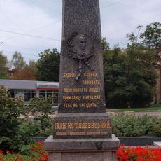
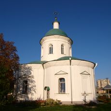
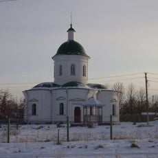
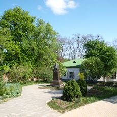
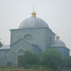
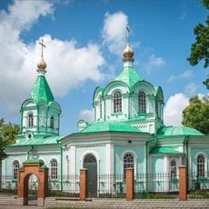
The settlement's name traces back to the Tatar camp called Saint-Chariv, reflecting the region's deep roots. Today, visitors can observe how the community keeps traditions alive through local celebrations, music, and shared meals, particularly around the church that serves as the heart of community life.
The settlement is linked to larger towns by minor roads and is best explored on foot or by local buses. Most houses have small gardens, and there is a mineral spring spa where visitors can relax.
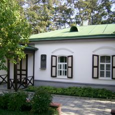
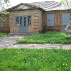
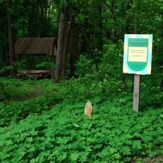
A mineral spring spa in the settlement was established by the Internal Troops of the Ministry of Internal Affairs and serves people seeking medical treatment. The local museum, founded in 1967 by a school teacher, displays the region's history and nature, though it is currently closed.
The community of curious travelers
AroundUs brings together thousands of curated places, local tips, and hidden gems, enriched daily by 60,000 contributors worldwide.