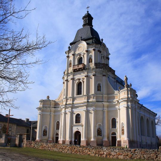
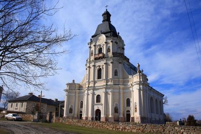
Mykulyntsi, urban-type settlement in Ternopil Oblast, Ukraine
AroundUs brings together thousands of curated places, local tips, and hidden gems, enriched daily by 60,000 contributors worldwide. Discover all places nearby (Terebovlia Raion).
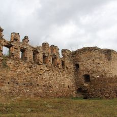
Mykulyntsi Castle
1.4 km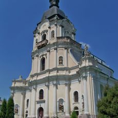
Holy Trinity church in Mykulyntsi
1.6 km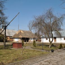
Museum-estate of Joseph Slipyj
8.3 km
Immaculate Conception church in Butsniv
10.3 km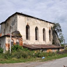
Pidhaitsi Synagogue
5.4 km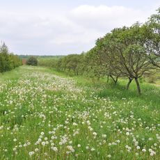
Chervona Kalyna Botanical Garden
3.9 km
Pałac w Strusowie
6.1 km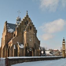
Church of Saints Peter and Paul in Butsniv
10.6 km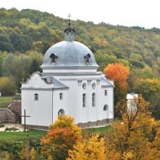
Церква Святого Миколи
5.1 km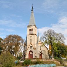
Saint Anthony church, Strusiv
5.2 km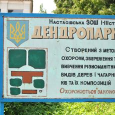
Nastasiv Dendropark
8.7 km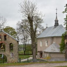
Church of Nativity of John Baptist, Bavoriv
9.3 km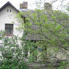
Теребовлянський районний краєзнавчий музей
11.1 km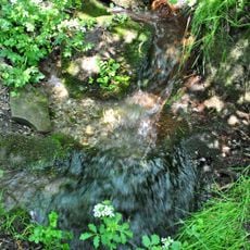
Myroliubivka source
5.7 km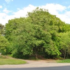
Mykulyntsi Faguses
1.5 km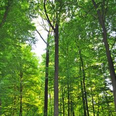
Myshkovychi Oak
3.8 km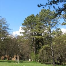
Pinus nigra, Terebovlia
10.7 km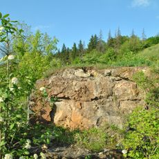
Luchka Accumulation of crystals of calcite
3.1 km
Струсівський замок
5.1 km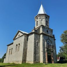
Saint Wenceslaus church, Bavoriv
9 km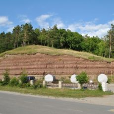
Outcrops of Devon in Hrabovets
11.1 km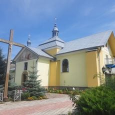
Church of the Presentation of Mary
3.2 km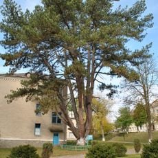
Pinus nigra in Strusiv
5.3 km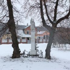
Statue of Saint Florian, Mykulyntsi
782 m
Sacred Heart of the Lord Jesus church, Ladychyn
3.5 km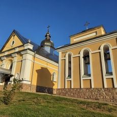
Church of the Virgin Mary, Ladychyn
3.3 km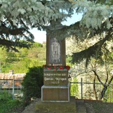
Пам'ятний знак на честь святого Димитрія
4.7 km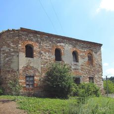
Synagogue in Strusiv
5.4 kmDiscover hidden gems everywhere you go!
From secret cafés to breathtaking viewpoints, skip the crowded tourist spots and find places that match your style. Our app makes it easy with voice search, smart filtering, route optimization, and insider tips from travelers worldwide. Download now for the complete mobile experience.

A unique approach to discovering new places❞
— Le Figaro
All the places worth exploring❞
— France Info
A tailor-made excursion in just a few clicks❞
— 20 Minutes
