
Viktorivka, village in Myronivka Raion, Kyiv Oblast, Ukraine
Location: Myronivska hromada
Inception: 1924
Elevation above the sea: 162 m
GPS coordinates: 49.73472,30.83417
Latest update: April 29, 2025 12:50
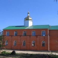
Saint Nicholas monastery complex in Bohuslav
21.1 km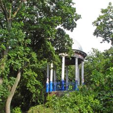
Kaharlyk Park
14.1 km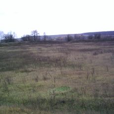
Buscheweer Siedlung
19.5 km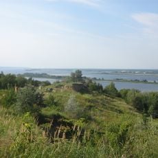
Ivan-Horod
32 km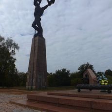
Bukrynsky Bridgehead National Museum-Memorial Complex
32.6 km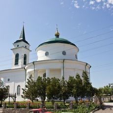
Church of the Holy Trinity, Bohuslav
21 km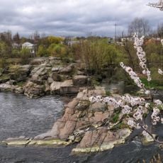
Bohuslavl Park
21.4 km
Boryspilski Islands Reserve
32.4 km
Musée local d'histoire de Bohouslav
21 km
Urochyshche Turchyno Reserve
29.2 km
Rzhyshchiv zakaznyk
32.9 km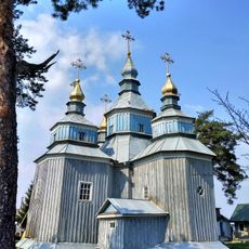
Saint Nicholas church, Syniava
26.4 km
Trinity church in Rzhyschiv
30.4 km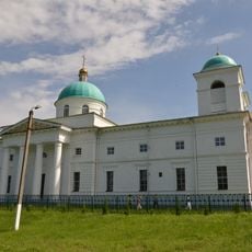
Church of the Intercession in Romashky, Rokytne Raion
17.3 km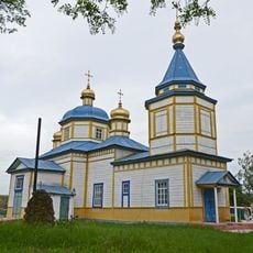
Saint John the Evangelist church in Rozkopantsi
22.1 km
Liodohrai
22.7 km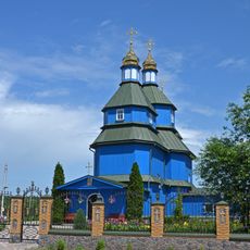
Saint Michael church in Ostriv, Bila Tserkva Raion
32.9 km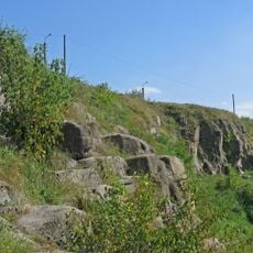
Vidsharuvannia Bohuslavskykh Hranitiv
21.8 km
Revina rock
24.7 km
Saint Mary Magdalene church in Tarashcha
31 km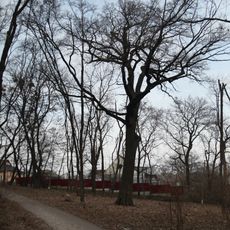
Dub Hoholia
14 km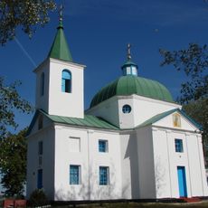
Saint Michael church in Shandra, Myronivka Raion
23.9 km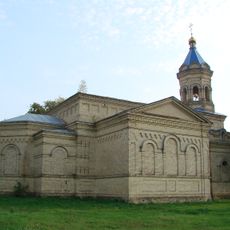
Church of the Intercession, Makedony
23 km
Церква Святого Архистратига Михаїла
29.4 km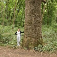
Bushivskyi Reserve
20.4 km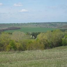
Астрагал
18.6 km
Maslivskyy sanctuary
25.2 km
Savarka Reserve
19.5 kmVisited this place? Tap the stars to rate it and share your experience / photos with the community! Try now! You can cancel it anytime.
Discover hidden gems everywhere you go!
From secret cafés to breathtaking viewpoints, skip the crowded tourist spots and find places that match your style. Our app makes it easy with voice search, smart filtering, route optimization, and insider tips from travelers worldwide. Download now for the complete mobile experience.

A unique approach to discovering new places❞
— Le Figaro
All the places worth exploring❞
— France Info
A tailor-made excursion in just a few clicks❞
— 20 Minutes