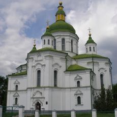
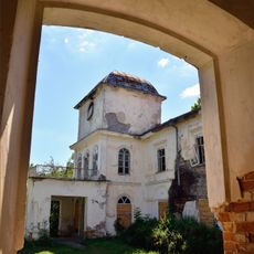
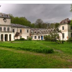
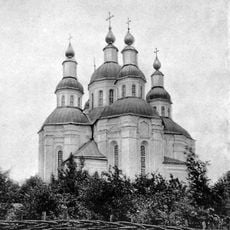
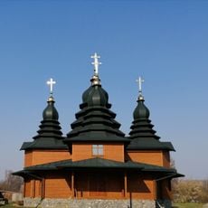
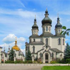
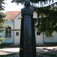
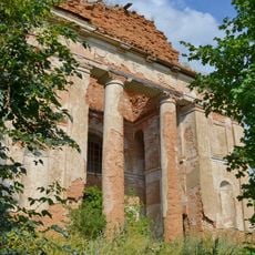
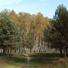
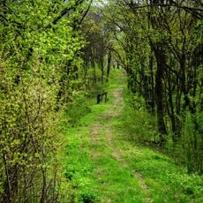
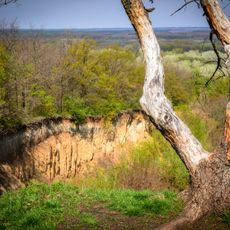
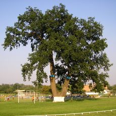
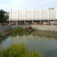
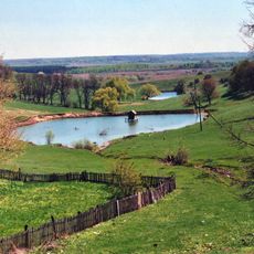
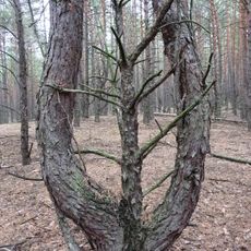
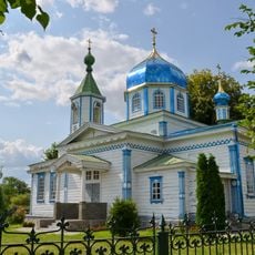
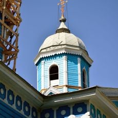
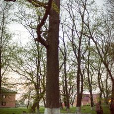
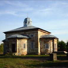
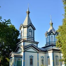
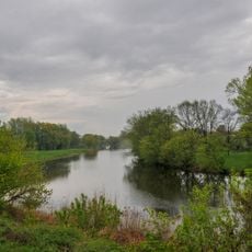
Khomutets, village in Myrhorod Raion, Poltava Oblast, Ukraine
Location: Myrhorod Raion
Inception: 16 century
Elevation above the sea: 100 m
GPS coordinates: 50.06187,33.72354
Latest update: March 31, 2025 20:05
Transfiguration church in Velyki Sorochyntsi
15.3 km
Myrhorod Raion
5.9 km
Muraviovykh-Apostoliv Palace
1.3 km
Myrhorodsʹkyĭ krai͡eznavchyĭ muzeĭ
13.3 km
Khomutetskyi Park
1.3 km
Church of the Dormition
27.4 km
Manor of Volodymyr Korolenko in Pokrovske
24.3 km
Wooden Church
27.4 km
Saint Nicholas church
15.3 km
Mykola Gogol Literary and Memorial Museum in Velykosorochyn
16.2 km
Church of the Nativity
34.6 km
Berezovyi Hai
12.2 km
Butova Mountain
28.5 km
Lysa Mountain, Yaresky
28.1 km
Quercus Robur, Velyka Bahachka
30 km
Mineral Water In The Park, Myrhorod
12.7 km
Khrystanivskyi Landscape Reserve
35.1 km
Ternovyi Kushch
23.5 km
Church of the Intercession, Maltsi
26.7 km
Church of the Intercession, Sary
32.9 km
Halochka
37.2 km
Безвіднянське
32.3 km
Шишацкий краеведческий музей
28.7 km
Quercus Robur, Yaresky
28.1 km
Church of Resurrection of Christ, Snityn
34.7 km
Church of the Nativity of the Theotokos, Kharkivtsi
26.3 km
Yarmakivskyi Landscape Reserve
18.1 km
Myrhorodsʹkyĭ krai͡eznavchyĭ muzeĭ
16.3 kmReviews
Visited this place? Tap the stars to rate it and share your experience / photos with the community! Try now! You can cancel it anytime.
Discover hidden gems everywhere you go!
From secret cafés to breathtaking viewpoints, skip the crowded tourist spots and find places that match your style. Our app makes it easy with voice search, smart filtering, route optimization, and insider tips from travelers worldwide. Download now for the complete mobile experience.
A unique approach to discovering new places❞
— Le Figaro
All the places worth exploring❞
— France Info
A tailor-made excursion in just a few clicks❞
— 20 Minutes