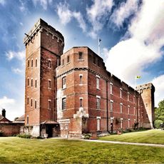
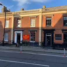
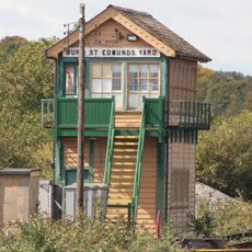
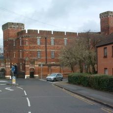
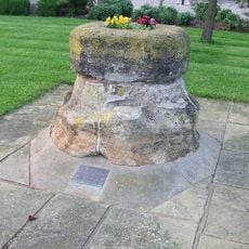
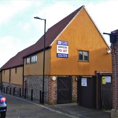
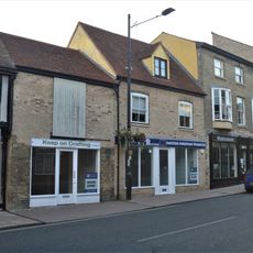
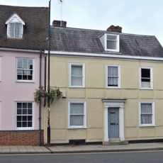
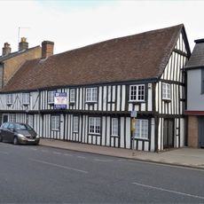
St Edmundsbury, former local government district and borough in Suffolk, England
Location: Suffolk
Capital city: Bury St Edmunds
Website: http://stedmundsbury.gov.uk
GPS coordinates: 52.25140,0.69680
Latest update: March 3, 2025 07:01
King's Road drill hall, Bury St Edmunds
1 km
Cemetery Chapel
881 m
Suffolk Regiment Museum
387 m
All Saints Church
933 m
The Rising Sun Public House
975 m
Bury Library
921 m
Kings Road Cemetery Francis Eagle Monument
931 m
90, Risbygate Street
899 m
104-108 Risbygate Street
1.1 km
Bury St Edmunds cemetery War Memorial
931 m
Bury St Edmunds Yard Signal Box
869 m
Gibraltar Barracks The Keep
386 m
Gibraltar Barracks Walls And Gates
317 m
Numbers 37, 38 And 39 And Attached Walls
1 km
Base Of Medieval Cross
452 m
24, 25 And 26, Risbygate Street
884 m
9 And 10, Risbygate Street
1 km
Cemetery Lodge
882 m
Granaries To North West Of Number 98 The Rising Sun Public House
938 m
98A, 99 And 100, Risbygate Street
989 m
93 And 95, Risbygate Street
923 m
16 And 17, Risbygate Street
975 m
Demeter House
880 m
83, Risbygate Street
858 m
Friends Meeting House
1.1 km
33, St Johns Street
1.1 km
36, St Johns Street
1.1 km
Milestone, Newmarket Road
409 mReviews
Visited this place? Tap the stars to rate it and share your experience / photos with the community! Try now! You can cancel it anytime.
Discover hidden gems everywhere you go!
From secret cafés to breathtaking viewpoints, skip the crowded tourist spots and find places that match your style. Our app makes it easy with voice search, smart filtering, route optimization, and insider tips from travelers worldwide. Download now for the complete mobile experience.
A unique approach to discovering new places❞
— Le Figaro
All the places worth exploring❞
— France Info
A tailor-made excursion in just a few clicks❞
— 20 Minutes