
Nunburnholme, a village located in East Riding of Yorkshire, United Kingdom
Location: East Riding of Yorkshire
GPS coordinates: 53.92185,-0.70772
Latest update: March 5, 2025 03:20
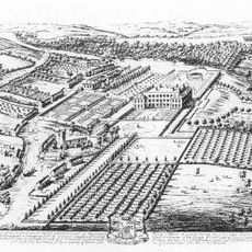
Londesborough Hall
3.6 km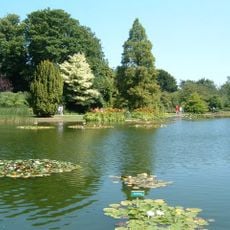
Burnby Hall Gardens
4.5 km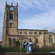
Church of All Saints, Pocklington
4.8 km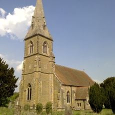
St James' Church, Warter
3.1 km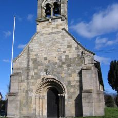
Church of Saint Giles
2.2 km
Church of Saint Botolph
6.4 km
Church of St. Helen
2.9 km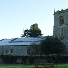
Church of All Saints, Londesborough
3.3 km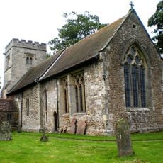
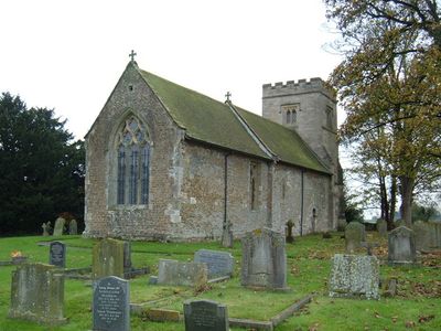
Church of Saint James
345 m
Church of Saint Martin
7.2 km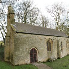
Church of Saint Ethelburgh
6.8 km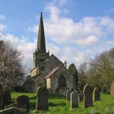
Church of St. Mary
8.1 km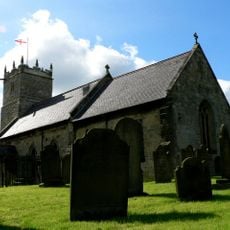
Church of All Saints
4.9 km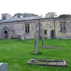
Church of St Margaret
4.3 km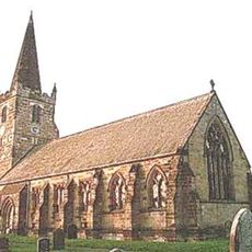
Church of St Catherine
7.4 km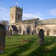
Church of St. Martin
3.5 km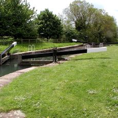
Pocklington Canal Top Lock And Canal Head
5.1 km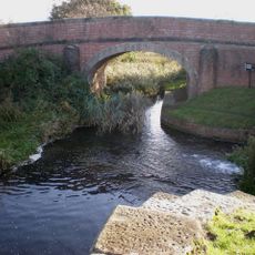
Pocklington Canal Coat's Bridge
7 km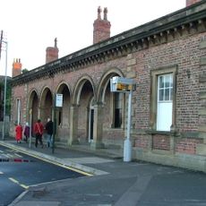
Railway Station
4.8 km
Pocklington Arts Centre
4.7 km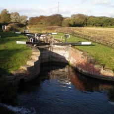
Pocklington Canal Coat's Lock
7 km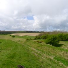
Sections of single and multiple linear boundary dykes on Huggate Pasture and Frendal Dale
7.6 km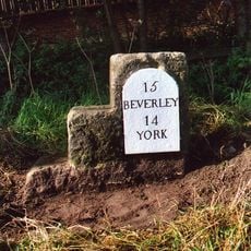
Milestone And Mounting Block About 75 Metres South-East Of Southmoor House
4.3 km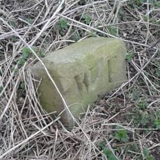
Boundary Stone At Ngr Se 871539
6.3 km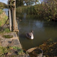
Pocklington Canal Sandhill Lock
6.6 km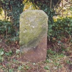
Milestone About 155 Metres West Of Brickyard Cottages
2 km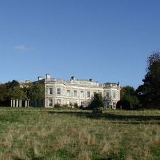
Kilnwick Percy Hall
3 km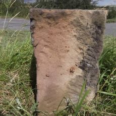
Milestone, lay-by on E-bound side of dual carriageway
3.9 kmVisited this place? Tap the stars to rate it and share your experience / photos with the community! Try now! You can cancel it anytime.
Discover hidden gems everywhere you go!
From secret cafés to breathtaking viewpoints, skip the crowded tourist spots and find places that match your style. Our app makes it easy with voice search, smart filtering, route optimization, and insider tips from travelers worldwide. Download now for the complete mobile experience.

A unique approach to discovering new places❞
— Le Figaro
All the places worth exploring❞
— France Info
A tailor-made excursion in just a few clicks❞
— 20 Minutes