
Stotfold, town and civil parish in Bedfordshire, United Kingdom
Location: Central Bedfordshire
Website: http://stotfoldtowncouncil.gov.uk
GPS coordinates: 52.01800,-0.22800
Latest update: March 5, 2025 11:51

Church of St. Mary the Virgin, Baldock
4.1 km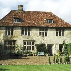
Hinxworth Place
3.4 km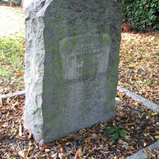
Church of St Nicholas, Norton
2.9 km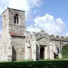
St Mary Magdalene's Church, Caldecote
2.4 km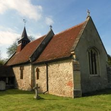
Church of All Saints, Radwell
1.9 km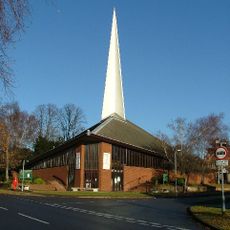
St George's Church
3.5 km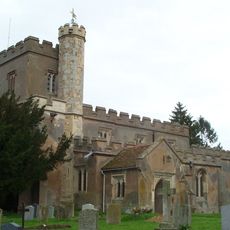
Church of St Vincent, Newnham
2.7 km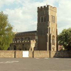
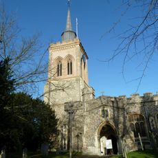
Church of St Mary the Virgin
458 m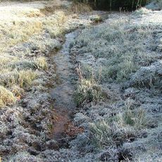
Ivel Springs
3.5 km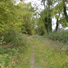
Arlesey Old Moat and Glebe Meadows
2.8 km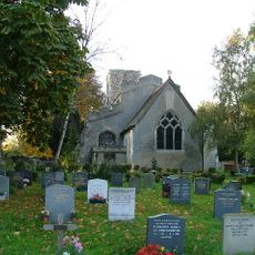
Church of St Peter, Arlesey
2.6 km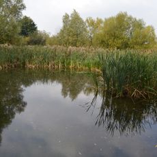
Stotfold Mill Meadows
826 m
Baldock Museum and Local History Society
4.2 km
Stotfold Watermill & Nature Reserve
639 m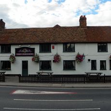
The Three Horseshoes Inn
3 km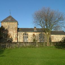
Church of Saint Guthlac
1.6 km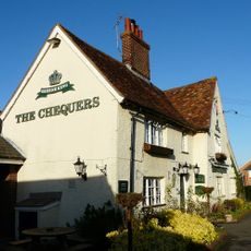
The Chequers Public House
579 m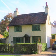
217, Icknield Way
4 km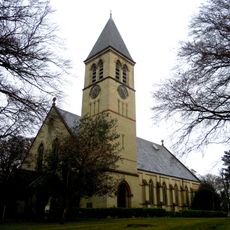
Church At Fairfield Hospital
2.1 km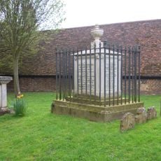
Tomb Of William Clarkson
4.1 km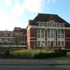
The Spirella Building, Associated Fountain, Lamp Standards And Steps
4.2 km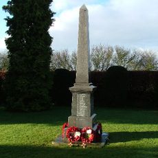
Stotfold War Memorial
691 m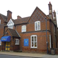
Butterfield House
4.1 km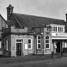
Booking Hall, Public Rooms, Offices And Footbridge At Letchworth Station
4.2 km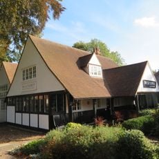
The Settlement
4 km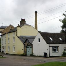
Stotfold Mill
652 m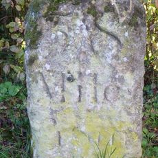
Milestone, North Road, N of jct with Norton Mill Lane
3 km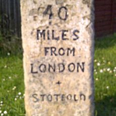
Milestone, Arlersley Road, 160m S of jct with Regent Street
348 mVisited this place? Tap the stars to rate it and share your experience / photos with the community! Try now! You can cancel it anytime.
Discover hidden gems everywhere you go!
From secret cafés to breathtaking viewpoints, skip the crowded tourist spots and find places that match your style. Our app makes it easy with voice search, smart filtering, route optimization, and insider tips from travelers worldwide. Download now for the complete mobile experience.

A unique approach to discovering new places❞
— Le Figaro
All the places worth exploring❞
— France Info
A tailor-made excursion in just a few clicks❞
— 20 Minutes