
Aust, village in South Gloucestershire, England
Location: South Gloucestershire
GPS coordinates: 51.59911,-2.61788
Latest update: March 18, 2025 11:38
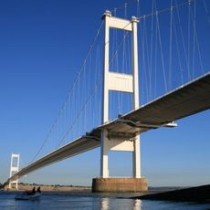
Severn Bridge
2 km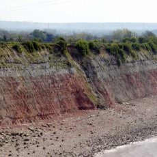
Aust Cliff
852 m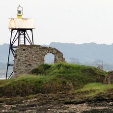
Chapel Rock Lighthouse
2.6 km
Church of St Arilda
4.5 km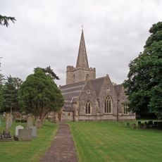
Church of St John
3.1 km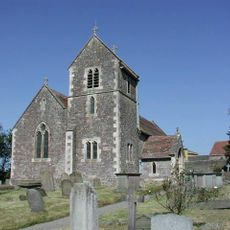
Church of St Mary of Malmesbury
3 km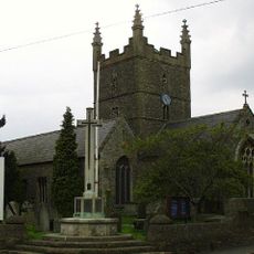
Church of St Mary
3.3 km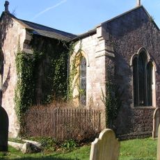
Church of St John
3.1 km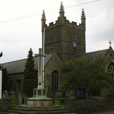
Olveston War Memorial With Associated Steps And Flanking Dwarf Walls
3.3 km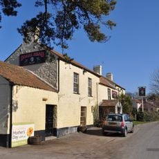
The Boar's Head
216 m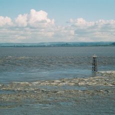
Lyde Rock lighthouse
2.5 km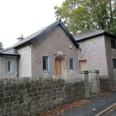
School Room Adjoining Church Of St John
3.1 km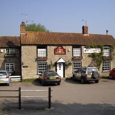
Anchor Inn
4.9 km
St John's Church
61 m
St Twrog's Chapel
2.6 km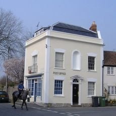
Post Office
3.4 km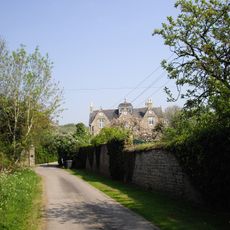
Old Manor
3.1 km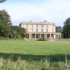
Sedbury Park
4.7 km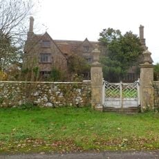
Rock House
2.8 km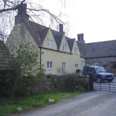
Fewster's Farmhouse
4.9 km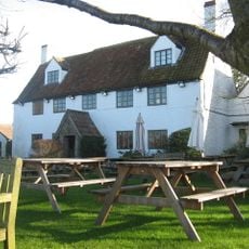
The White Hart
2.5 km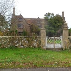
Pair Of Gate Piers And Attached Wall And Mounting Block About 18 Metres South Of Rock House
2.8 km
St Arild's House
4.7 km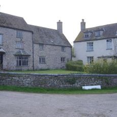
St Arild's Farmhouse
4.8 km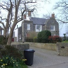
Court Farmhouse
2.8 km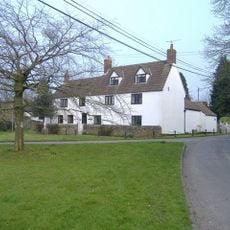
Hollyhocks
2.7 km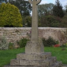
Oldbury-on-Severn War Memorial
5 km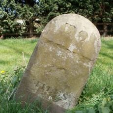
Milestone, New Leaze opposite house
2.9 kmReviews
Visited this place? Tap the stars to rate it and share your experience / photos with the community! Try now! You can cancel it anytime.
Discover hidden gems everywhere you go!
From secret cafés to breathtaking viewpoints, skip the crowded tourist spots and find places that match your style. Our app makes it easy with voice search, smart filtering, route optimization, and insider tips from travelers worldwide. Download now for the complete mobile experience.

A unique approach to discovering new places❞
— Le Figaro
All the places worth exploring❞
— France Info
A tailor-made excursion in just a few clicks❞
— 20 Minutes