
Le Sueur County, County administrative division in Minnesota, United States
Le Sueur County spans 474 square miles across south central Minnesota, featuring low rolling hills, numerous lakes, and the Minnesota River along its western border.
Named after French explorer Pierre-Charles Le Sueur, the Minnesota Territory legislature established this county on March 5, 1853, with Le Center becoming its seat in 1876.
The county government maintains extensive parks and recreational facilities, offering programs through Extension services and 4-H clubs for community development.
The county administration provides residents with online access to land records, zoning information, property taxes, and environmental permits through its official website.
Two settlements, Le Sueur and Le Sueur City, initially competed for prominence when they were established in 1852 along the Minnesota River's east bank.
Location: Minnesota
Inception: March 5, 1853
Capital city: Le Center
Shares border with: Scott County, Rice County, Waseca County, Blue Earth County, Nicollet County, Sibley County
Website: http://co.le-sueur.mn.us
GPS coordinates: 44.37000,-93.73000
Latest update: March 11, 2025 19:21
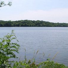
Sakatah Lake State Park
22.7 km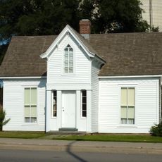
Dr. William W. Mayo House
17.9 km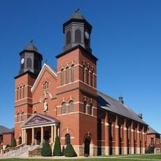
Church of St. Wenceslaus
23 km
First National Bank of Mankato
31.4 km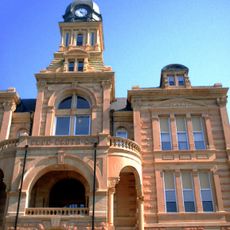
Blue Earth County Courthouse
31.4 km
Nicollet County Courthouse and Jail
18.9 km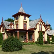
Eugene Saint Julien Cox House
18.9 km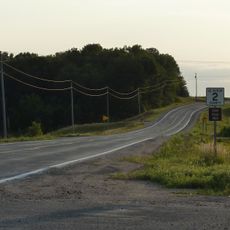
Dodd Road Discontiguous District
9.3 km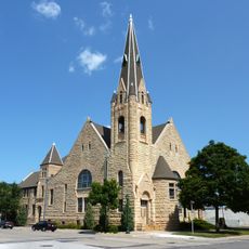
First Presbyterian Church
31.5 km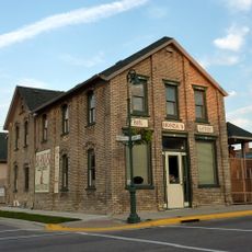
Westerman Lumber Office and House
14.1 km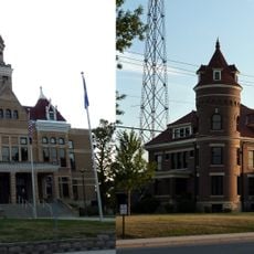
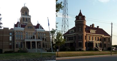
Le Sueur County Courthouse and Jail
2 km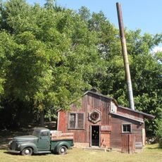
Seha Sorghum Mill
20.6 km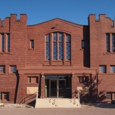
St. Peter Armory
18.9 km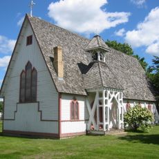
Episcopal Church of the Transfiguration
28.4 km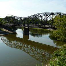
Broadway Bridge
18.5 km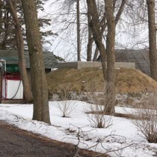
Hofmann Apiaries
23 km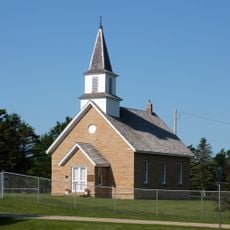
Methodist Episcopal Church
17.4 km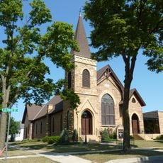
Union Presbyterian Church
19.3 km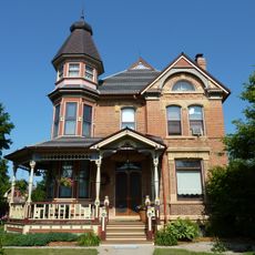
Emily and Stephen Schumacher House
18.6 km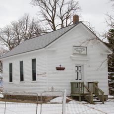
German Evangelical Salem Church
13.7 km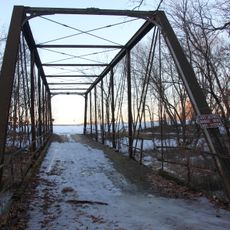
Shanaska Creek Bridge
17.7 km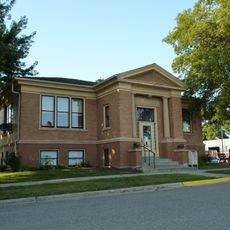
Janesville Free Public Library
28.2 km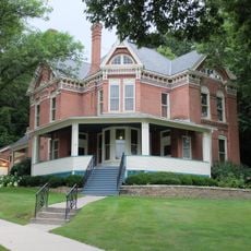
August F. Poehler House
22.7 km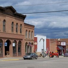
Henderson Commercial Historic District
22.5 km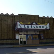
Le Sueur Theater
17.9 km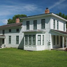
Hooper–Bowler–Hillstrom House
28.7 km
Linnaeus Arboretum
20.5 km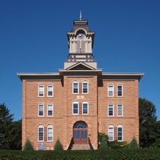
Old Main
19.9 kmReviews
Visited this place? Tap the stars to rate it and share your experience / photos with the community! Try now! You can cancel it anytime.
Discover hidden gems everywhere you go!
From secret cafés to breathtaking viewpoints, skip the crowded tourist spots and find places that match your style. Our app makes it easy with voice search, smart filtering, route optimization, and insider tips from travelers worldwide. Download now for the complete mobile experience.

A unique approach to discovering new places❞
— Le Figaro
All the places worth exploring❞
— France Info
A tailor-made excursion in just a few clicks❞
— 20 Minutes