
Ottawa, village in Ohio, United States
Location: Putnam County
Elevation above the sea: 142 m
Website: https://www.ottawaohio.us/
Website: https://ottawaohio.us
GPS coordinates: 41.02080,-84.04140
Latest update: March 7, 2025 00:15
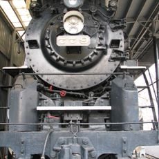
Nickel Plate Road 779
31.7 km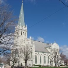
St. John's Catholic Church
31.7 km
Allen County Museum
31.8 km
Allen County Courthouse
31.4 km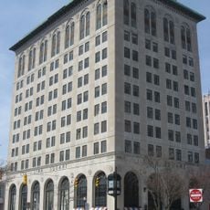
First National Bank and Trust Building
31.7 km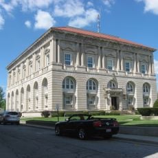
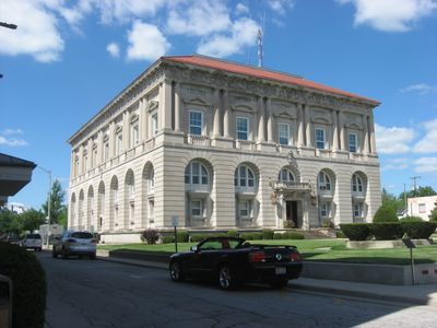
Putnam County Courthouse
437 m
John Edwards House
9.9 km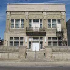
Elks Lodge
31.4 km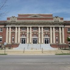
Lima Memorial Hall
32 km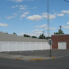
Leipsic Village Hall
9.8 km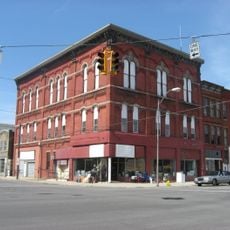
Klaus Block
31.3 km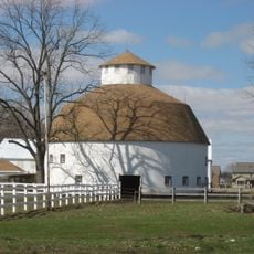
Round Barn
30.2 km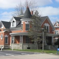
Marks-Family House
31.7 km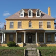
Neely-Sieber House
32 km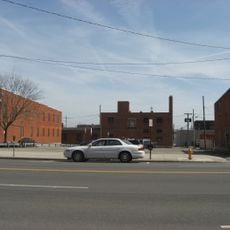
Renz Block
31.4 km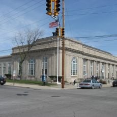
U.S. Post Office
31.6 km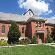
Adams School
32 km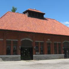
Ottawa Waterworks Building
400 m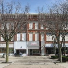
Union Block
31.7 km
Beck and R.C. Cahill Buildings
31.9 km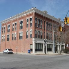
Martin and Kibby Blocks
31.9 km
Round Barn
15 km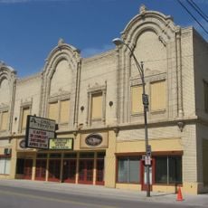
Ohio Theatre
31.4 km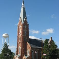
St. John the Baptist Catholic Church
3.4 km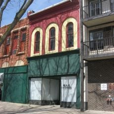
Neal Clothing Building
31.6 km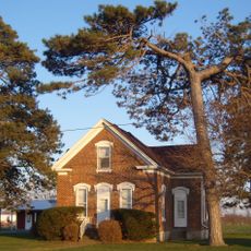
Andrew Powell Homestead
29.4 km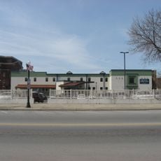
Linneman Building
32 km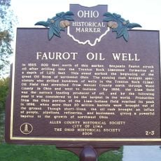
Faurot Oil Well
31.3 kmReviews
Visited this place? Tap the stars to rate it and share your experience / photos with the community! Try now! You can cancel it anytime.
Discover hidden gems everywhere you go!
From secret cafés to breathtaking viewpoints, skip the crowded tourist spots and find places that match your style. Our app makes it easy with voice search, smart filtering, route optimization, and insider tips from travelers worldwide. Download now for the complete mobile experience.

A unique approach to discovering new places❞
— Le Figaro
All the places worth exploring❞
— France Info
A tailor-made excursion in just a few clicks❞
— 20 Minutes