Farmer, town in South Dakota, United States of America
Location: Hanson County
Elevation above the sea: 425 m
GPS coordinates: 43.72472,-97.68861
Latest update: April 5, 2025 19:41
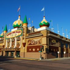
Corn Palace
27.2 km
Lake Herman State Park
51.9 km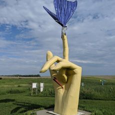
Porter Sculpture Park
41.5 km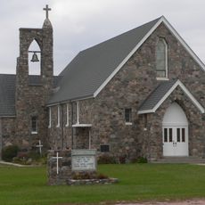
Our Savior's Lutheran Church
64.4 km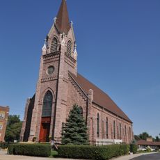
St. Mary's Catholic Church
24.1 km
Holy Family Church, School, and Rectory
26.8 km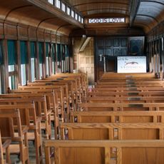
Chapel Emmanuel Railroad Car
52.4 km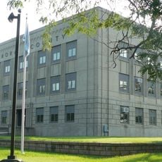
Aurora County Courthouse
64.1 km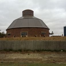
J. Whitney Goff Round Barn
40.7 km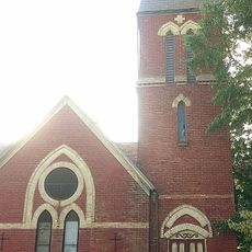
St. Andrew's Episcopal Church
64.9 kmSouth Dakota Department of Transportation Bridge No. 63-160-056
59.3 km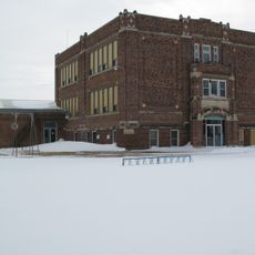
Delmont Public School
64 km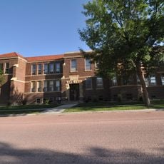
Whittier School
27.5 km
William P. Smith House
62.1 km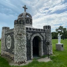
Saint Peter's Grotto
167 m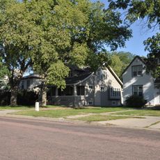
Mitchell West Central Residential Historic District
27.3 km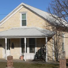
Methodist Episcopal Church
64.3 km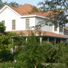
Raesly House
63.1 km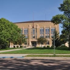
McCook County Courthouse
24.2 km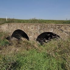
Bridge No. 63-137-090-Parker
59.8 km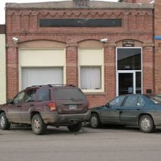
Delmont State Bank
63.5 km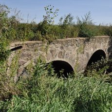
South Dakota Department of Transportation Bridge No. 63-132-040
54.4 km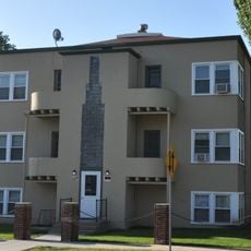
Koch Apartments
27.3 km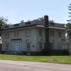
Parker Masonic Hall
57.6 km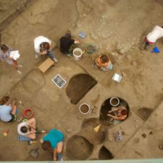
Mitchell Prehistoric Indian Village
27.8 km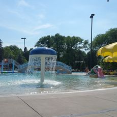
Hitchcock Park
25.9 km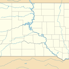
Dimock (Dakota do Sul)
31 km
Cherry Lanes
54.4 kmVisited this place? Tap the stars to rate it and share your experience / photos with the community! Try now! You can cancel it anytime.
Discover hidden gems everywhere you go!
From secret cafés to breathtaking viewpoints, skip the crowded tourist spots and find places that match your style. Our app makes it easy with voice search, smart filtering, route optimization, and insider tips from travelers worldwide. Download now for the complete mobile experience.

A unique approach to discovering new places❞
— Le Figaro
All the places worth exploring❞
— France Info
A tailor-made excursion in just a few clicks❞
— 20 Minutes