
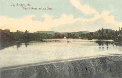
Jay, town in Maine, United States
Location: Franklin County
Elevation above the sea: 199 m
Website: http://jay.org
GPS coordinates: 44.50389,-70.21611
Latest update: April 6, 2025 08:13
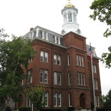
Kents Hill School
20.3 km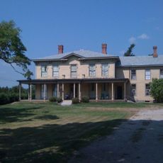
The Norlands
10.7 km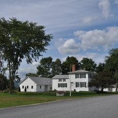
Holmes-Crafts Homestead
1.8 km
Hiram Ramsdell House
19.4 km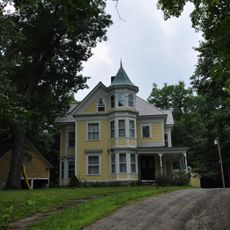
Chester Greenwood House
18.3 km
Merrill Hall
19.1 km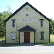
Starling Grange
13.2 km
First Universalist Society of West Sumner
24.8 km
Bass Boarding House
9.3 km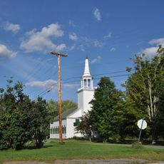
Old Union Meetinghouse
17.3 km
Jay-Niles Memorial Library
5.2 km
Cutler Memorial Library
19.2 km
Greenacre
19.6 km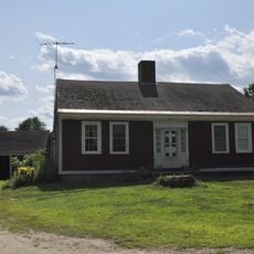
Enoch Hall House
26.5 km
Nordica Homestead
22 km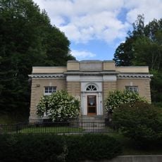
Goodspeed Memorial Library
9.4 km
Free Will Baptist Meetinghouse
19.1 km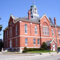
Franklin County Courthouse
19.3 km
Farmington Historic District
19.3 km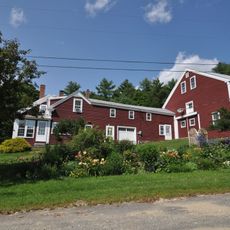
E.C. and M.I. Record Homestead
26.4 km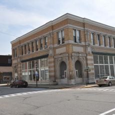
Rumford Falls Power Company Building
26.6 km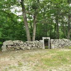
Turner Cattle Pound
26 km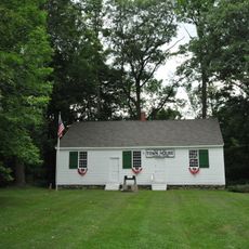
Turner Town House
25.9 km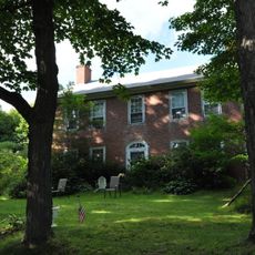
Tufts House
17.7 km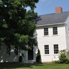
David Warren House
22.7 km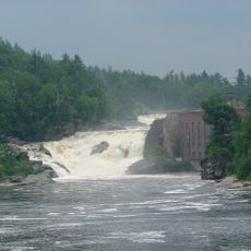
Rumford Falls
26.3 km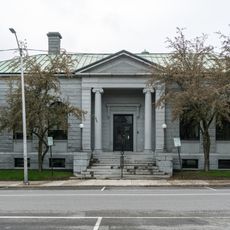
Lewiston Public Library
8.4 km
Music Hall Theater
19.3 kmReviews
Visited this place? Tap the stars to rate it and share your experience / photos with the community! Try now! You can cancel it anytime.
Discover hidden gems everywhere you go!
From secret cafés to breathtaking viewpoints, skip the crowded tourist spots and find places that match your style. Our app makes it easy with voice search, smart filtering, route optimization, and insider tips from travelers worldwide. Download now for the complete mobile experience.

A unique approach to discovering new places❞
— Le Figaro
All the places worth exploring❞
— France Info
A tailor-made excursion in just a few clicks❞
— 20 Minutes