
Mariaville, human settlement in Hancock County, Maine, United States of America
Location: Hancock County
Elevation above the sea: 48 m
GPS coordinates: 44.72063,-68.41558
Latest update: June 8, 2025 06:04

University of Maine
28.2 km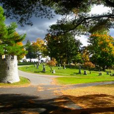
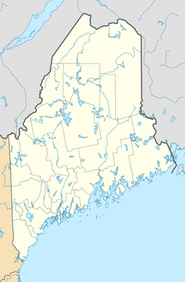
Mount Hope Cemetery
27 km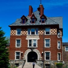
Dorothea Dix Psychiatric Center
27.9 km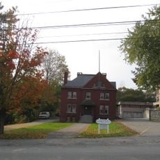
Hancock County Jail
19.8 km
Black Cap Mountain
12.5 km
The Grand
19.9 km
Congregation Beth Israel
29.1 km
Penobscot River Bridge
28.9 km
Ellsworth Public Library
19.9 km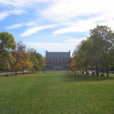
Fay Hyland Botanical Plantation
28.3 km
Page Farm & Home Museum
27.9 km
Bear Brook Watershed in Maine
29 km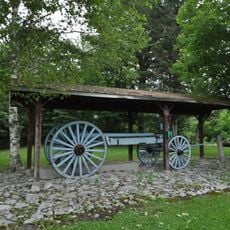
Robertson Quarry Galamander
19.8 km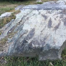
Agassiz Bedrock Outcrop
17.9 km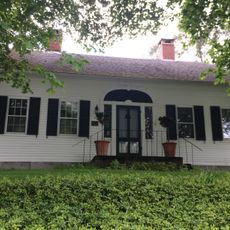
William Colburn House
27.9 km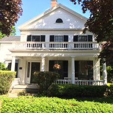
Gov. Israel Washburn House
27.1 km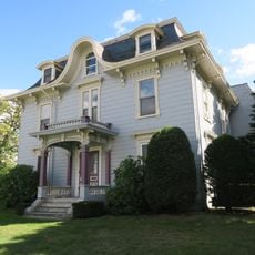
Connors House
28.8 km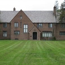
Phi Gamma Delta House
27.9 km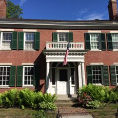
Nathaniel Treat House
26.4 km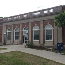
Orono Post Office
27.3 km
Old Brewer High School
28.4 km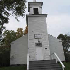
Surry Town Hall
25.8 km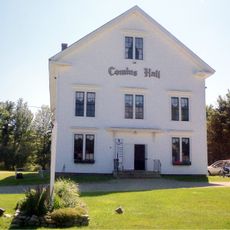
East Eddington Public Hall
15.7 km
Sargent-Roberts House
29.1 km
Wild Acadia
25.1 km
Lead Mountain
29 km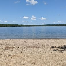
Schoodic Beach
27.2 km
Schoodic Beach
27.2 kmVisited this place? Tap the stars to rate it and share your experience / photos with the community! Try now! You can cancel it anytime.
Discover hidden gems everywhere you go!
From secret cafés to breathtaking viewpoints, skip the crowded tourist spots and find places that match your style. Our app makes it easy with voice search, smart filtering, route optimization, and insider tips from travelers worldwide. Download now for the complete mobile experience.

A unique approach to discovering new places❞
— Le Figaro
All the places worth exploring❞
— France Info
A tailor-made excursion in just a few clicks❞
— 20 Minutes