
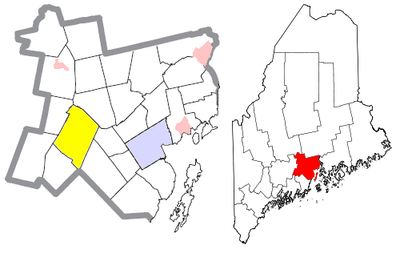
Montville, human settlement in Waldo County, Maine, United States of America
Location: Waldo County
Inception: 1807
Elevation above the sea: 143 m
Website: http://montvillemaine.org
GPS coordinates: 44.43000,-69.28500
Latest update: March 6, 2025 21:18
Camden Hills State Park
25.8 km
Moose Point State Park
26.8 km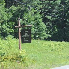
Lake St. George State Park
6.4 km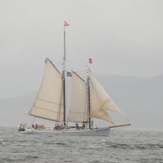
Timberwind
22.2 km
Ebenezer Alden House
24.3 km
Masonic Temple
22.1 km
James P. White House
22.6 km
First Church of Belfast
22.1 km
South China Meeting House
23.3 km
Lermond Mill
24.5 km
Whitney Farm
11.8 km
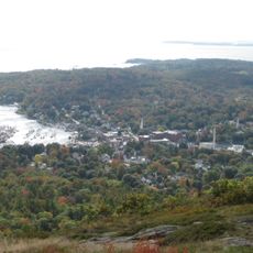
Belfast Historic District
22.2 km
Gushee Family House
16.2 km
Belfast National Bank
22.1 km
Eli and Sybil Jones House
18.9 km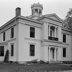
Church Street Historic District
22.4 km
Pond Meeting House
19 km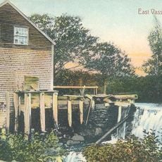
East Vassalboro Grist and Saw Mill
25.7 km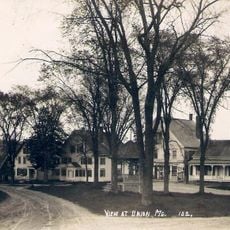
The Common
24.3 km
Pendle Hill
22.2 km
Lincolnville Center Meeting House
20.2 km
Old Town House
24.2 km
Abel Jones House
23 km
Joseph and Hannah Maxcy Homestead
26.1 km
Troy Meeting House
26.4 km
William F. Grant House
27.4 km
Philip Leach House
25.8 km
China Lake
21.7 kmVisited this place? Tap the stars to rate it and share your experience / photos with the community! Try now! You can cancel it anytime.
Discover hidden gems everywhere you go!
From secret cafés to breathtaking viewpoints, skip the crowded tourist spots and find places that match your style. Our app makes it easy with voice search, smart filtering, route optimization, and insider tips from travelers worldwide. Download now for the complete mobile experience.

A unique approach to discovering new places❞
— Le Figaro
All the places worth exploring❞
— France Info
A tailor-made excursion in just a few clicks❞
— 20 Minutes