
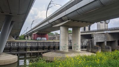
Spoorbrug Tiel, pont ferroviaire néerlandais
Location: Tiel
Part of: Betuweroute
GPS coordinates: 51.90347,5.45306
Latest update: March 2, 2025 23:52

Prins Bernhardsluis Tiel
201 m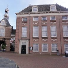
Flipje & Streekmuseum
2.1 km
Waterpoort Tiel
2.1 km
Medel
1 km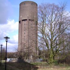
Watertoren Tiel
1.7 km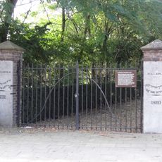
Joodse begraafplaats van Tiel
2 km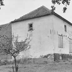
Huis Latenstein
794 m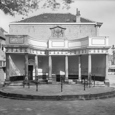
Vismarkt Tiel
2 km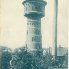
Oude watertoren Tiel
1.5 km
Plaquette van N. A. Oostinga
2.2 km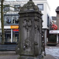
Pomp op de Markt, Tiel
2.2 km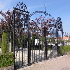
Rooms-Katholieke Begraafplaats
2 km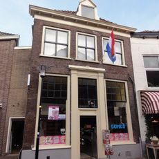
Westluidensestraat 3, Tiel
2.2 km
Koornmarkt 20, Tiel
2.2 km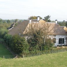
Waalbandijk 68, Echteld
1.5 km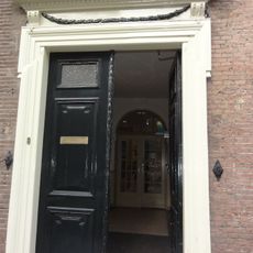
Ambtmanstraat 12, Tiel
2.2 km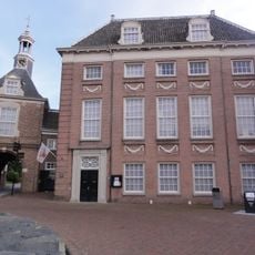
Plein 46
2.1 km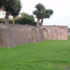
Vestingmuur Tolhuiswal
2.2 km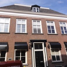
Gasthuisstraat 24, Tiel
2.2 km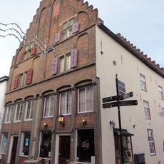
Weerstraat 49, Tiel
2.2 km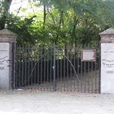
Joodse Begraafplaats
2 km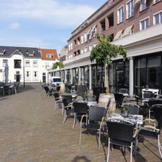
Korenbeurs
2.2 km
Toegangshek Joodse begraafplaats
2 km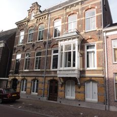
Ambtmanstraat 20, Tiel
2.2 km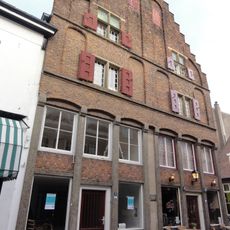
Weerstraat 47, Tiel
2.1 km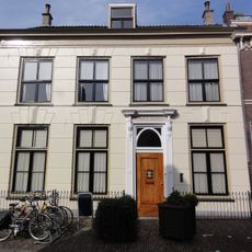
Gasthuisstraat 20, Tiel
2.2 km
Aarden Wal
2.2 km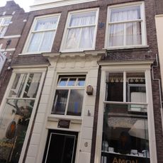
Kerkstraat 6, Tiel
2.2 kmVisited this place? Tap the stars to rate it and share your experience / photos with the community! Try now! You can cancel it anytime.
Discover hidden gems everywhere you go!
From secret cafés to breathtaking viewpoints, skip the crowded tourist spots and find places that match your style. Our app makes it easy with voice search, smart filtering, route optimization, and insider tips from travelers worldwide. Download now for the complete mobile experience.

A unique approach to discovering new places❞
— Le Figaro
All the places worth exploring❞
— France Info
A tailor-made excursion in just a few clicks❞
— 20 Minutes