
Kamp Wierden I, Labor camp in the Netherlands
Location: Wierden
Inception: May 1940
GPS coordinates: 52.38028,6.56750
Latest update: March 2, 2025 23:48

Bellinckhof
5.4 km
Historisch Museum Vriezenveen
5.3 km
St. John's Church
3.1 km
Huurne
3.3 km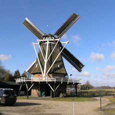
Leemansmolen
3.2 km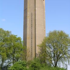
Watertoren Daarle
5.4 km
Exhortare
5.1 km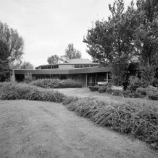
Pauluskerk
5.6 km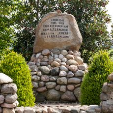
Monument voor kapitein A.F. Lancker
2.6 km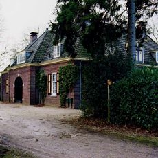
Wierdensestraat 210, Almelo
5.3 km
Rijssensestraat 67, Wierden
3.4 km
Schuilenburglaan 7, Almelo
4.6 km
Westeinde 342, Vriezenveen
4.5 km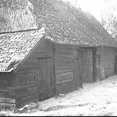
Hexelseweg 74, Hoge-Hexel
2.2 km
De Wever
4 km
Westeinde 384, Vriezenveen
4.4 km
Wierdensestraat 204, Almelo
5.6 km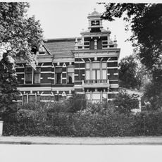
Herenhuis
3.6 km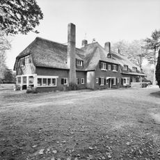
Het Hexel
1.9 km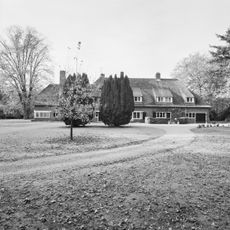
Het Hexel: tuin
1.9 km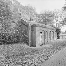
Pompgebouw
2.4 km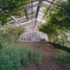
Bellinckhof: dienstwoning
5.6 km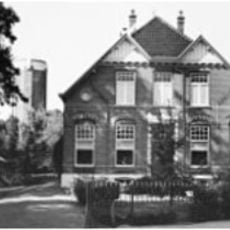
Oosteinde 3, Vriezenveen
5.6 km
Piksenweg 5, Hoge Hexel
1.8 km
Stegeboersweg 14, Wierden
3 km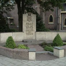
Oorlogsmonument
3.1 km
Monument aan de Almelosestraat
3.5 km
Herdenkingsmonument
2.7 kmReviews
Visited this place? Tap the stars to rate it and share your experience / photos with the community! Try now! You can cancel it anytime.
Discover hidden gems everywhere you go!
From secret cafés to breathtaking viewpoints, skip the crowded tourist spots and find places that match your style. Our app makes it easy with voice search, smart filtering, route optimization, and insider tips from travelers worldwide. Download now for the complete mobile experience.

A unique approach to discovering new places❞
— Le Figaro
All the places worth exploring❞
— France Info
A tailor-made excursion in just a few clicks❞
— 20 Minutes