
Hartkjølen, mountain
Location: Lierne Municipality
Elevation above the sea: 1,390.1 m
GPS coordinates: 64.31930,13.99550
Latest update: April 28, 2025 22:10
Strömsund Municipality
66.7 km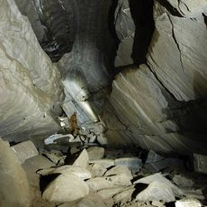
Korallgrottan
63.6 km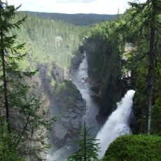
Hällingsåfallet
19.4 km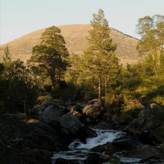
Blåfjella–Skjækerfjella National Park
44.3 km
Lierne National Park
2.5 km
Ankarede kapell
56.7 km
Mjölkvattnet
56.6 km
Vikens kapell
36.8 km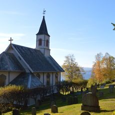
Sandvika
25.3 km
Nordli Church
25.5 km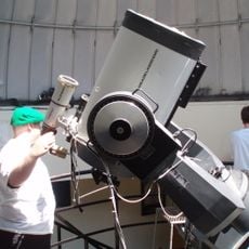
Frostvikens observatorium
22.1 km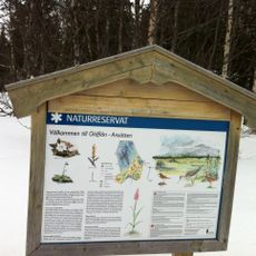
Oldflån-Ansätten Nature Reserve
52.4 km
Kalberget (bukid)
23.7 km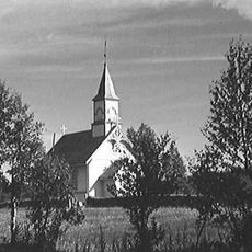
Tunnsjø Chapel
44 km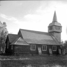
Sjoutnäsets kapell
54.1 km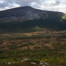
Grubbdalen
34.4 km
Häggsjövik
47.2 km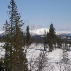
Svenskådalen Nature Reserve
48.7 km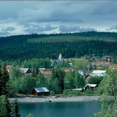
Frostviken Church
21.6 km
Gressåmoen
47.6 km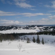
Oldsjön
64.1 km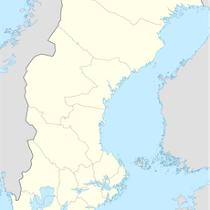
Forsahappen
20.7 km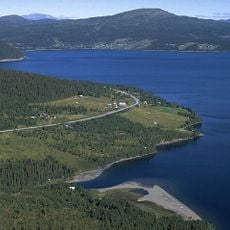
Blåsjön
51.5 km
Himmelsraften
56.1 km
Öjarssjön
65.5 km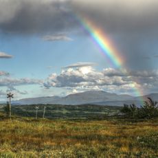
Blåsjöfjäll
51.1 km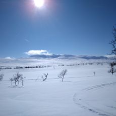
Noerhte Snjaptja
46.9 km
Oppgården
27.1 kmReviews
Visited this place? Tap the stars to rate it and share your experience / photos with the community! Try now! You can cancel it anytime.
Discover hidden gems everywhere you go!
From secret cafés to breathtaking viewpoints, skip the crowded tourist spots and find places that match your style. Our app makes it easy with voice search, smart filtering, route optimization, and insider tips from travelers worldwide. Download now for the complete mobile experience.

A unique approach to discovering new places❞
— Le Figaro
All the places worth exploring❞
— France Info
A tailor-made excursion in just a few clicks❞
— 20 Minutes