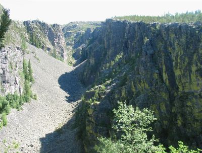
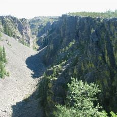
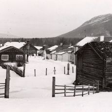
Jutulhogget, Canyon in Alvdal and Rendalen, Norway.
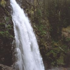
Jutulhogget is a canyon in the border region between Alvdal and Rendalen, with rock walls stretching over 2 kilometers and rising between 100 and 240 meters. The canyon has a deep, narrow cut through solid rock with nearly vertical walls that define the landscape.
The canyon formed at the end of the last Ice Age when a glacial lake broke through its natural barrier and released enormous amounts of water. This sudden event carved the landscape in a relatively short period and created the rock walls visible today.
The name Jutulhogget comes from Norwegian mythology, referencing the Jotun, supernatural beings from ancient stories. Locals and visitors encounter this mythological connection in regional storytelling, which gives the canyon a cultural identity beyond its geological features.
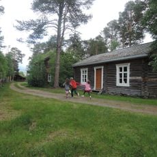
You can explore the canyon using marked hiking trails that wind through the area and offer different viewpoints. Wear sturdy footwear and come prepared for changing weather, as the narrow walls can create variable conditions.
The canyon was carved out in just a few days by a catastrophic flood, not over thousands of years like most other canyons. This extremely rapid event left geological marks that remain clearly visible today, making it an exceptional example of sudden landscape change.
The community of curious travelers
AroundUs brings together thousands of curated places, local tips, and hidden gems, enriched daily by 60,000 contributors worldwide.