Storfjorden

Log in to your account

AroundUs is a community-driven map of interesting places, built by curious explorers like you. It grows with every review, story, and photo you share.
Connect to save your favorite spots, contribute locations, and create personalized routes.
Continue with Google
Continue with Apple
Continue with X
Continue with Facebook
Continue with email
By continuing, you accept our Terms and Conditions and our Privacy Policy
Create an account

Storfjorden

Add to collection
Map
Suggest a change
Share

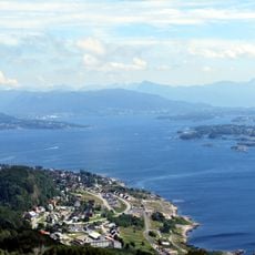
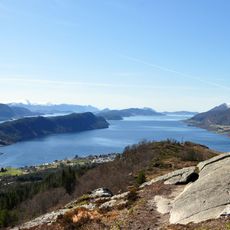
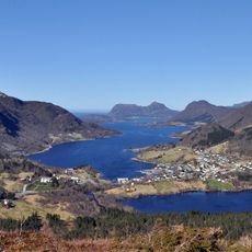
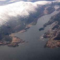
Storfjorden, Fjord in Sunnmøre, Norway

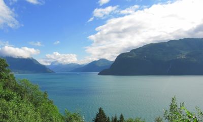
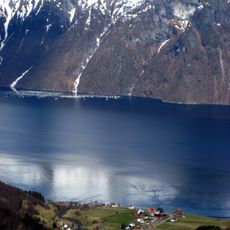
Storfjord stretches 110 kilometers from Hareid village toward the Geirangerfjord and Tafjorden branches, cutting deep into the surrounding mountains. The waterway is framed by steep rock walls that rise directly from the water, with waterfalls cascading down from the heights above.

A catastrophic landslide struck the fjord on January 8, 1731, creating a megatsunami that killed 17 people and destroyed coastal buildings. This disaster left a lasting mark on the region and shaped how locals understood the power of natural forces.

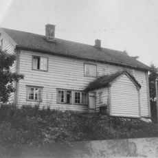
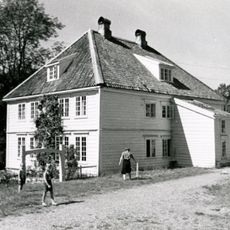
Mountain farms like Ytste Skotet, Me-Åkernes, Skageflå, and Knivsflå line the fjord shores, showing how rural communities have adapted to steep terrain and isolation. These farmsteads still define the landscape and reflect a way of life shaped by the waterway.

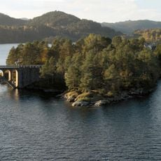
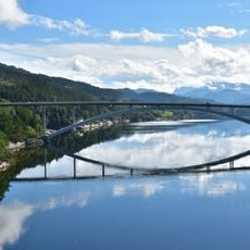
Getting around the fjord requires car ferries to cross between the opposite shores, as no bridges or tunnels connect them. Plan extra time for ferry crossings when traveling between the municipalities surrounding the water.

Water depths reach 679 meters near Dyrkorn village, while the surrounding mountains rise from about 500 meters at the mouth to 1800 meters deeper inland. These extreme differences create sharp contrasts between the water level and the peaks above.

Location: Hareid Municipality

Location: Sula

Location: Ørsta Municipality

Location: Sykkylven Municipality

Location: Ålesund Municipality

Location: Stranda Municipality

Location: Fjord Municipality

Part of: Norwegian Sea

GPS coordinates: 62.44378,6.60278

Latest update: December 10, 2025 16:23

Photos
Reviews

Visited this place? Tap the stars to rate it and share your experience / photos with the community! Try now! You can cancel it anytime.

« Storfjorden - Fjord in Sunnmøre, Norway » is provided by Around Us (aroundus.com). Images and texts are derived from Wikimedia project under a Creative Commons license. You are allowed to copy, distribute, and modify copies of this page, under the conditions set by the license, as long as this note is clearly visible.

Discover hidden gems everywhere you go!

From secret cafés to breathtaking viewpoints, skip the crowded tourist spots and find places that match your style. Our app makes it easy with voice search, smart filtering, route optimization, and insider tips from travelers worldwide. Download now for the complete mobile experience.

Around Us App Screenshot

A unique approach to discovering new places

Le Figaro

All the places worth exploring

France Info

A tailor-made excursion in just a few clicks

20 Minutes