Mugnetindene, mountain in Norway
Location: Vang
Elevation above the sea: 1,740 m
GPS coordinates: 61.24972,8.66389
Latest update: November 13, 2025 09:06

Skræmetindene
2.2 km
Uri
12.7 km
Leinekvernene
12.4 km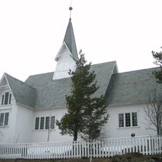
Heensåsen Church
9 km
Austreimsføssen
8.3 km
Stølsskardknappen
12.4 km
Sendehorn
3.2 km
Svarte Føssen
4.8 km
Knappen
11.6 km
Nedre Vennisfjell
9.2 km
Remmingen
12.4 km
Sparstad
12.9 km
Nørdre Knausen
12.5 km
Sparstad
11.7 km
Øddestøl
2.9 km
Sparstad
11.6 km
Høverstadstølen
10 km
Leirhol nordre riddarstoga
11.3 km
Bekkestykket
12.5 km
Øddestølen
2.8 km
Work of art, sculpture
12.8 km
Scenic viewpoint
12.2 km
Scenic viewpoint
8.9 km
Scenic viewpoint
12.3 km
Sputrefossen
7.5 km
Scenic viewpoint
10.6 km
Austreimsføssen
8.3 km
Waterfall
8.3 kmReviews
Visited this place? Tap the stars to rate it and share your experience / photos with the community! Try now! You can cancel it anytime.
Discover hidden gems everywhere you go!
From secret cafés to breathtaking viewpoints, skip the crowded tourist spots and find places that match your style. Our app makes it easy with voice search, smart filtering, route optimization, and insider tips from travelers worldwide. Download now for the complete mobile experience.

A unique approach to discovering new places❞
— Le Figaro
All the places worth exploring❞
— France Info
A tailor-made excursion in just a few clicks❞
— 20 Minutes