Aurskog-Høland bygdetun, museum in Aurskog-Høland, Norway
Location: Aurskog-Høland Municipality
GPS coordinates: 59.72300,11.45200
Latest update: January 12, 2024 17:30

Viktjernhøgda
5.6 km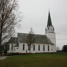
Løken Church
8.3 km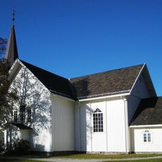
Søndre Høland Church
634 m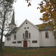
Båstad Church
9.3 km
Hæra
9 km
Lundsfossen
5.4 km
Hellesjøvann
1.9 km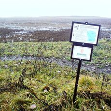
Kragtorpvika
6.5 km
Kallakmosen
6.3 km
Kollerudvika
1.7 km
Bergsjø-Hølandselva
2.3 km
Vestre Fuglemosen
9.4 km
Nygårdsfoss
10.1 km
Slottet
5.5 km
Båstad (Olberg) kirkested
9.4 km
Aslerud østre
5.8 km
Båstad (Olberg) kirkested
9.4 km
Gukilhøgda
5.6 km
Sentvet øvre
6.1 km
Slora foss
2 km
Foståskollen
10.2 km
Trandum
7.1 km
Tinghaugen
8.1 km
Slottåsen
1.2 km
Slorafossen
2 km
Minjarudkollen
9.7 km
Nygårdsfoss
10.1 km
Daltorpfossen
1.7 kmReviews
Visited this place? Tap the stars to rate it and share your experience / photos with the community! Try now! You can cancel it anytime.
Discover hidden gems everywhere you go!
From secret cafés to breathtaking viewpoints, skip the crowded tourist spots and find places that match your style. Our app makes it easy with voice search, smart filtering, route optimization, and insider tips from travelers worldwide. Download now for the complete mobile experience.

A unique approach to discovering new places❞
— Le Figaro
All the places worth exploring❞
— France Info
A tailor-made excursion in just a few clicks❞
— 20 Minutes