
Mokrin, village in Kikinda municipality, Serbia
Location: Kikinda Municipality
Elevation above the sea: 90 m
GPS coordinates: 45.93583,20.40722
Latest update: March 12, 2025 22:24
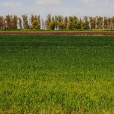
Meadows of Great Bustard
8.7 km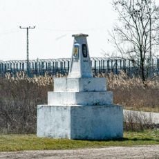
Hungary–Romania–Serbia tripoint
23.9 km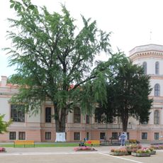
Nako Castle
22.7 km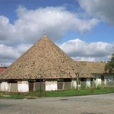
Suvača
12.6 km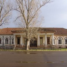
Дворац Хертеленди – Бајић
21.1 km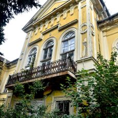
Lederer manor house
20.7 km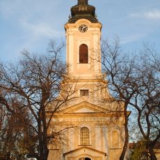
Église Saint-Nicolas de Kikinda
12 km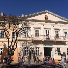
National Museum of Kikinda
12.5 km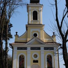
Holy Trinity monastery
13.8 km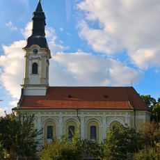
Église Saint-Michel-et-Saint-Gabriel de Banatsko Aranđelovo
19.2 km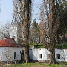
Oratoire Vodica de Kikinda
14.6 km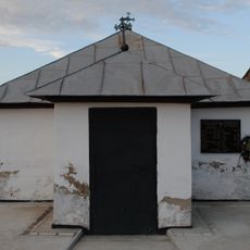
Tombeau de la famille Čarnojević
23.1 km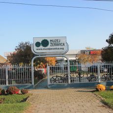
Žeravica Museum
24.4 km
Maison natale de Stevan Sremac
24.4 km
Градско језгро Кикинде
12.6 km
Bâtiment du district de Velika Kikinda
12.6 km
Église Saint-Michel de Senta
24.4 km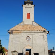
Église Saint-Michel-et-Saint-Gabriel de Čoka
20.3 km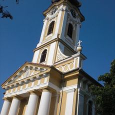
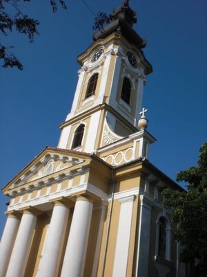
Église Saint-Michel-Archange de Mokrin
1.7 km
Кућа у Ул. Пере Сегединца бр. 25 у Кикинди
13.1 km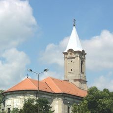
Catholic church in Čoka
20.2 km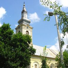
Église de l'Ascension de Sanad
23.7 km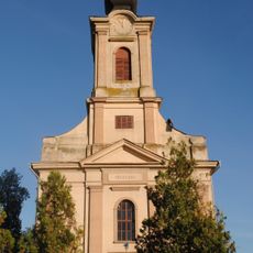
Église Saint-Nicolas d'Ostojićevo
19.3 km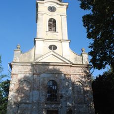
Église Saint-Michel-et-Saint-Gabriel d'Iđoš
13.8 km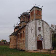
Kirche Hl. Vasilije Ostroški
20.4 km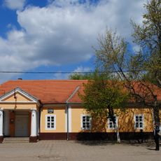
Стара општинска зграда у Мокрину
360 m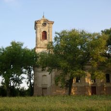
Église Saint-Gabriel de Bočar
20.8 km
Evangelický kostel v Ostojićevu
19.5 kmVisited this place? Tap the stars to rate it and share your experience / photos with the community! Try now! You can cancel it anytime.
Discover hidden gems everywhere you go!
From secret cafés to breathtaking viewpoints, skip the crowded tourist spots and find places that match your style. Our app makes it easy with voice search, smart filtering, route optimization, and insider tips from travelers worldwide. Download now for the complete mobile experience.

A unique approach to discovering new places❞
— Le Figaro
All the places worth exploring❞
— France Info
A tailor-made excursion in just a few clicks❞
— 20 Minutes