
Znamenje, Špičnik, znamenje v Občini Kungota
Location: Municipality of Kungota
GPS coordinates: 46.66848,15.55769
Latest update: May 11, 2025 13:20
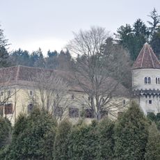
Trautenburg Castle
6.5 km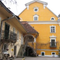
Schloss Gamlitz
5.6 km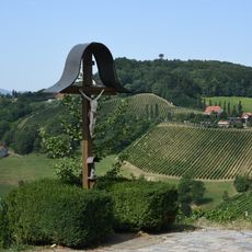
Platsch
4.8 km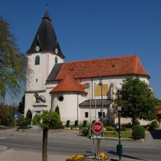
Pfarrkirche St. Peter und Paul
5.8 km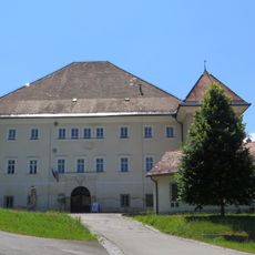
Svečina Castle
2.3 km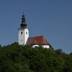
Kirche St. Kunigund
5.3 km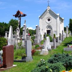
Friedhof
6.4 km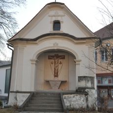
Kreuzkapelle
5.8 km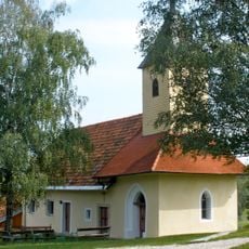
Karmeliterkapelle
4.4 km
Ortskapelle Urbani
2.3 km
St. Cunigunde's Parish Church
5.3 km
Kriegerdenkmal Gamlitz
5.8 km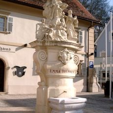
Emmabrunnen
6.7 km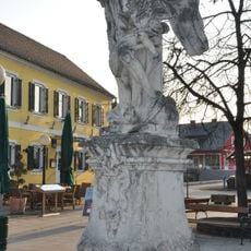
Figurenbildstock Erzengel Michael
5.8 km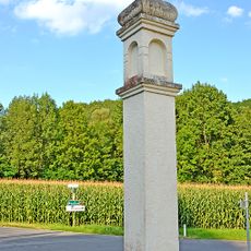
Bildstock Pestkreuz
1.4 km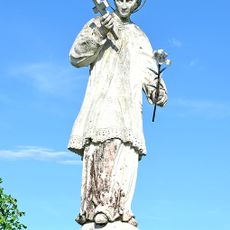
Figurenbildstock hl. Aloisius
4.1 km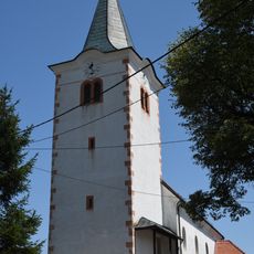
Holy Cross Parish Church
5.6 km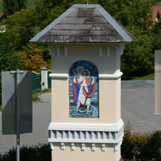
Bildstock
2.4 km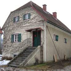
Mesnerhaus
5.9 km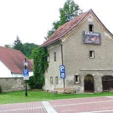
Speicher
6.6 km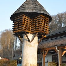
Taubenschlag
6 km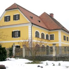
Pfarrhof
5.9 km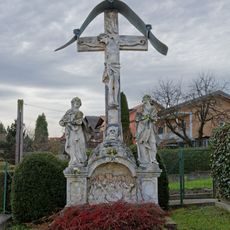
Franzosenkreuz, Fegefeuerkreuz
6.6 km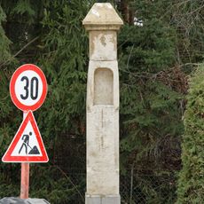
Bildstock
5.9 km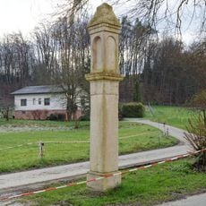
Bildstock
5.7 km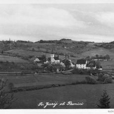
St. George's Parish Church
2.6 km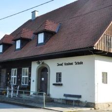
Volksschule, sog. Josef Krainer-Schule
6.5 km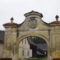
Toranlage
6.5 kmReviews
Visited this place? Tap the stars to rate it and share your experience / photos with the community! Try now! You can cancel it anytime.
Discover hidden gems everywhere you go!
From secret cafés to breathtaking viewpoints, skip the crowded tourist spots and find places that match your style. Our app makes it easy with voice search, smart filtering, route optimization, and insider tips from travelers worldwide. Download now for the complete mobile experience.

A unique approach to discovering new places❞
— Le Figaro
All the places worth exploring❞
— France Info
A tailor-made excursion in just a few clicks❞
— 20 Minutes