Šola, building in Črnomelj Municipality, Slovenia
Location: Črnomelj Municipality
GPS coordinates: 45.46984,15.34455
Latest update: March 8, 2025 08:47

Novigrad na Dobri
7.7 km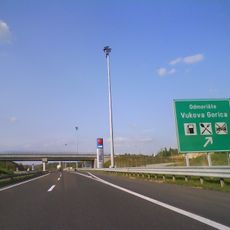
Vukova Gorica
2.5 km
Dobra Bridge
9.8 km
Zvečaj Castle
10.7 km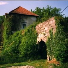
Pobrežje Castle
7.3 km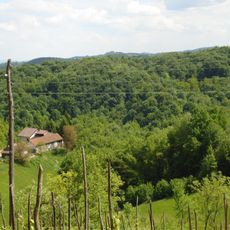
Tomašnica
12 km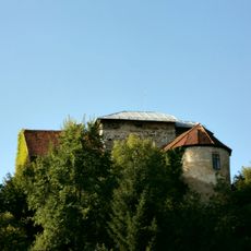
Vinica Castle (Črnomelj)
7 km
Završje Netretićko
9.9 km
Brajakovo Brdo
8.7 km
Donje Stative
10.9 km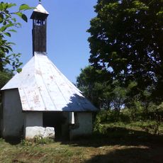
Griče
7.9 km
Gornje Stative
11 km
Gornji Zvečaj
12.1 km
Lipnik
9.8 km
Lahinja
11.2 km
Novigrad castle (Novigrad na Dobri)
8.6 km
Kunići Ribnički
4.7 km
Veliki Modruš Potok
5.5 km
Rosopajnik
4.3 km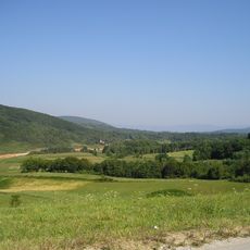
Kučevice
5.1 km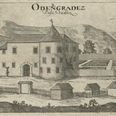
Pusti gradec Mansion
12.5 km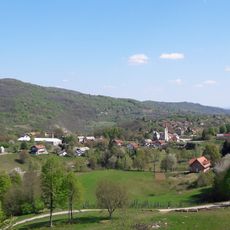
Jenina
3.8 km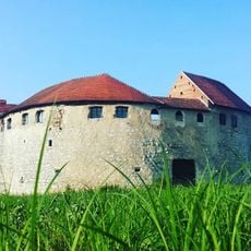
Grad Ribnik
11.9 km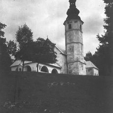
Holy Name of Mary Church
6.8 km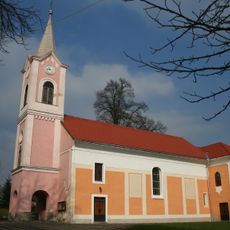
Church of Assumption of Blessed Virgin Mary (Novigrad na Dobri)
7.8 km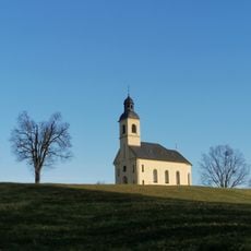
Saints Peter and Paul Church
2.7 km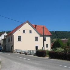
Župančič House
7.1 km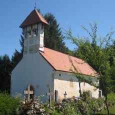
All Saints Church
12.5 kmReviews
Visited this place? Tap the stars to rate it and share your experience / photos with the community! Try now! You can cancel it anytime.
Discover hidden gems everywhere you go!
From secret cafés to breathtaking viewpoints, skip the crowded tourist spots and find places that match your style. Our app makes it easy with voice search, smart filtering, route optimization, and insider tips from travelers worldwide. Download now for the complete mobile experience.

A unique approach to discovering new places❞
— Le Figaro
All the places worth exploring❞
— France Info
A tailor-made excursion in just a few clicks❞
— 20 Minutes